Difference between revisions of "2018-09-15 51 13"
imported>Danatar (Report!) |
imported>FippeBot m (Location) |
||
| Line 42: | Line 42: | ||
[[Category:Coordinates reached]] | [[Category:Coordinates reached]] | ||
[[Category:Danatar]] | [[Category:Danatar]] | ||
| + | {{location|DE|BB|OSL}} | ||
Latest revision as of 04:05, 16 August 2019
| Sat 15 Sep 2018 in Dresden: 51.7479165, 13.8858563 geohashing.info google osm bing/os kml crox |
Location
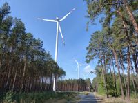
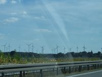
Today's location is near (many) wind turbines in the forest near Calau.
Country: Germany; state: Brandenburg (EU:DE:BB); district: Oberspreewald-Lausitz; municipality: Calau
Weather: sunny
Expedition
Danatar
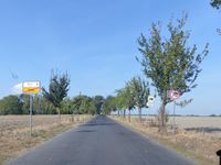
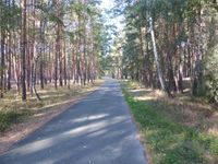
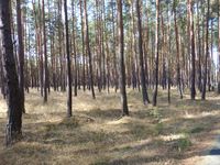
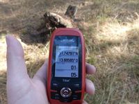
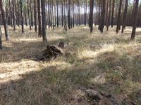
I was on my way to Berlin for an orchestra rehearsal when this hashpoint fell near the Autobahn. After leaving the A13 Autobahn Bronkow exit I drove to Calau and from there into the forest. I parked the car at a small intersection and started walking the last 1.5 km. After passing the second wind turbine and nearing the third, the hashpoint lay to my left, so I entered between the conifer trees. There was very few underbrush so it was easy to reach the hashpoint. After taking pictures, I went back to the car and took the side track towards the next Autobahn exit in the direction of Berlin. I arrived a bit late because I had to take multiple construction-related detours inside Berlin.
|
