Difference between revisions of "2019-01-18 51 11"
From Geohashing
imported>Reinhard |
imported>Reinhard (→Photos) |
||
| Line 24: | Line 24: | ||
|Image:20190118-51N11E-01.jpg|Coordinates reached. | |Image:20190118-51N11E-01.jpg|Coordinates reached. | ||
|Image:20190118-51N11E-02.jpg|Me at the hashpoint. | |Image:20190118-51N11E-02.jpg|Me at the hashpoint. | ||
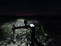
| − | |Image:20190118- | + | |Image:20190118-51N11E-03.jpg|Bike's view at the hashpoint. |
}} | }} | ||
Revision as of 19:34, 19 January 2019
| Fri 18 Jan 2019 in 51,11: 51.0570718, 11.7443588 geohashing.info google osm bing/os kml crox |
Location
On a meadow between Döbrichau and Zöthen (Saale-Holzland-Kreis), Thuringia, Germany.
Participants
Expedition
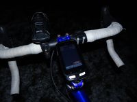
One of the too-close-not-to-think-about-going-there kind of hashes. Cycled there (34 km roundtrip) in the evening with temperature around -7°C.
Tracklog
Photos
|

