Difference between revisions of "File:Kekerengu regional-gh-proposal a.PNG"
From Geohashing
(Maintenance script uploaded File:Kekerengu regional-gh-proposal a.PNG) |
m (Adding categories) |
||
| Line 1: | Line 1: | ||
Kekerengu, Nea Zealand with 0.05 degree area marked | Kekerengu, Nea Zealand with 0.05 degree area marked | ||
| + | [[Category:Maps]] | ||
Latest revision as of 18:05, 14 October 2021
Kekerengu, Nea Zealand with 0.05 degree area marked
File history
Click on a date/time to view the file as it appeared at that time.
| Date/Time | Thumbnail | Dimensions | User | Comment | |
|---|---|---|---|---|---|
| current | 17:07, 30 January 2020 | 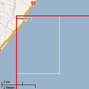 | 300 × 300 (9 KB) | Maintenance script (talk | contribs) |
- You cannot overwrite this file.
File usage
The following page links to this file: