Difference between revisions of "Agen, France"
From Geohashing
imported>ReletBot m (Bot: Automated text replacement (-irc.peeron.com +carabiner.peeron.com)) |
imported>ReletBot m (Updated graticule template with information from All Graticules, using standard format.) |
||
| Line 3: | Line 3: | ||
| lon= 0 | | lon= 0 | ||
| nw = [[Saintes, France|Saintes]] | | nw = [[Saintes, France|Saintes]] | ||
| − | | n = [[ | + | | n = [[45,0]] |
| ne = [[Limoges, France|Limoges]] | | ne = [[Limoges, France|Limoges]] | ||
| w = [[Bordeaux, France|Bordeaux]] | | w = [[Bordeaux, France|Bordeaux]] | ||
Revision as of 11:50, 8 April 2013
| Saintes | 45,0 | Limoges |
| Bordeaux | Bergerac | Montauban |
| Pau | Tarbes | Toulouse |
|
Today's location: geohashing.info google osm bing/os kml crox | ||
The Agen, France graticule is located around latitude 44, longitude 0.
About / A propos de
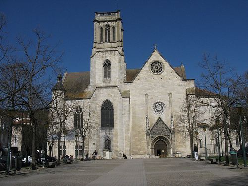
Image courtesy of Smange - Image Link on Flickr
The Bergerac graticule has boundaries from 45° to 44° latitude, and 0° to 1° longitude (44, 0).
If you're a local, subscribe to the RSS feed of this page so you know when people are going to visit a hash. That said, try to update this page if you're heading out yourself. Maybe other people will show up.
Get Going
New hashes are announced at 15:30 local time weekdays, and on Friday for Saturday for Sunday.
Local Geohashers
Thornae - (no userpage)
Links
- French Graticules - Explore some virgin territory
- Bergerac Tourism - In case you want to know what else to see while you're out
- Agen Tourism - If the location is further south
Geohashes
None yet.
