Difference between revisions of "2020-05-01 43 -115"
| Line 32: | Line 32: | ||
Following the trail led us to the track road I had seen on the map, and from there we reached the hashpoint. | Following the trail led us to the track road I had seen on the map, and from there we reached the hashpoint. | ||
| − | |||
| − | |||
[[Category:Expeditions]] | [[Category:Expeditions]] | ||
[[Category:Expeditions with photos]] | [[Category:Expeditions with photos]] | ||
[[Category:Coordinates reached]] | [[Category:Coordinates reached]] | ||
Revision as of 03:04, 2 May 2020
| Fri 1 May 2020 in 43,-115: 43.6264600, -115.9907446 geohashing.info google osm bing/os kml crox |
Location
Between Robie Creek and Highway 21. OSM shows a highway=track leading almost to the point
Participants
Penguins, a few family members, and a small dog
Plans
I believe we can park at the boat ramp in the park. From there it should be possible to walk to the hashpoint. Maybe.
Expedition
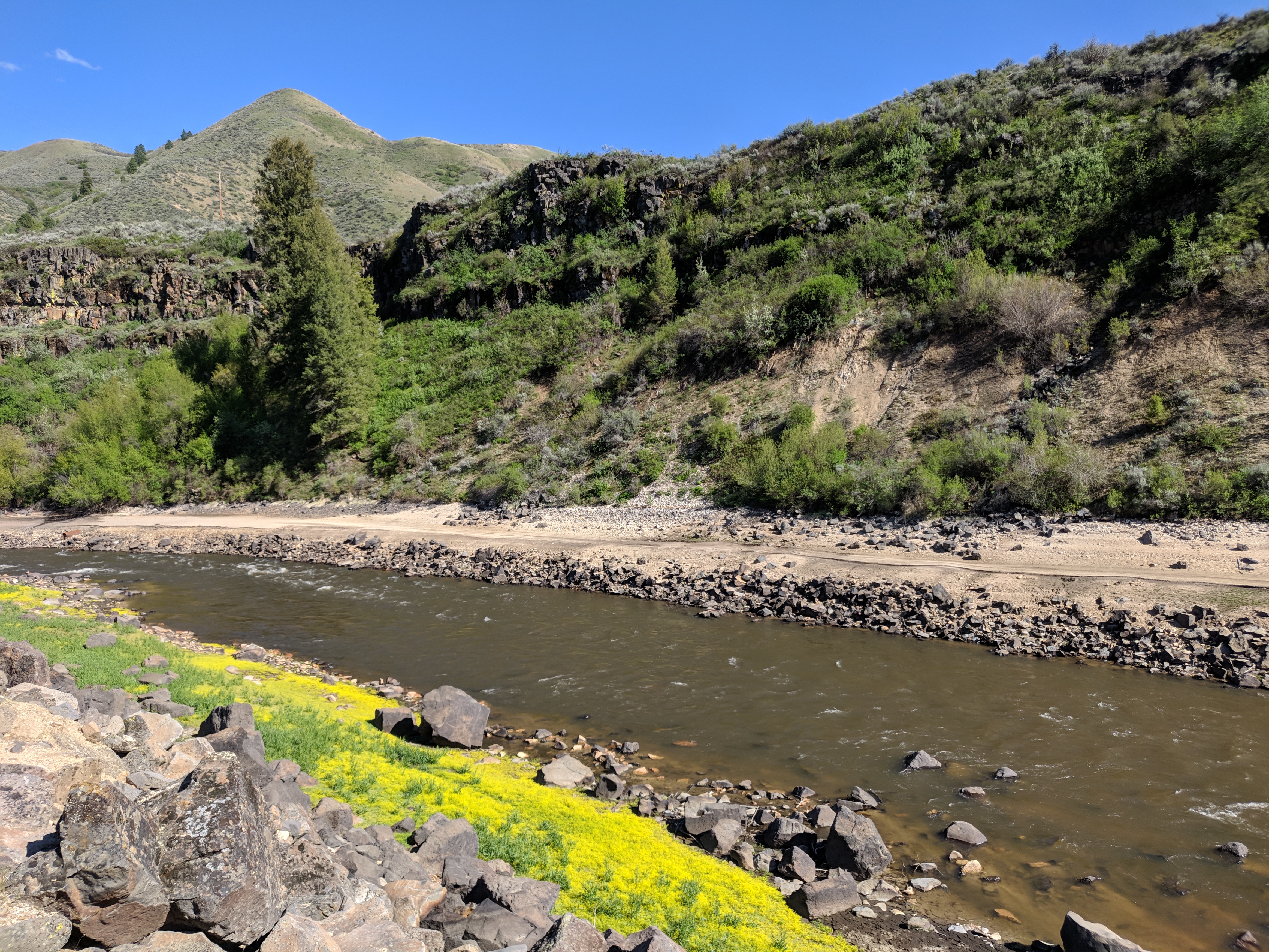
We drove over and found a parking spot across the road from the boat dock area, which appeared to be closed. All the bathrooms nearby were also locked, so some of us made do with the mountain.
We decided to follow the road across the creek and work out from there how to get to the point.
Ah. Looking at aerial views had not prepared us for the elevation change required.
We crossed the bridge and found a dirt road on the other side of the creek. We walked back along it until we came to a spot that looked possibly climbable, and...
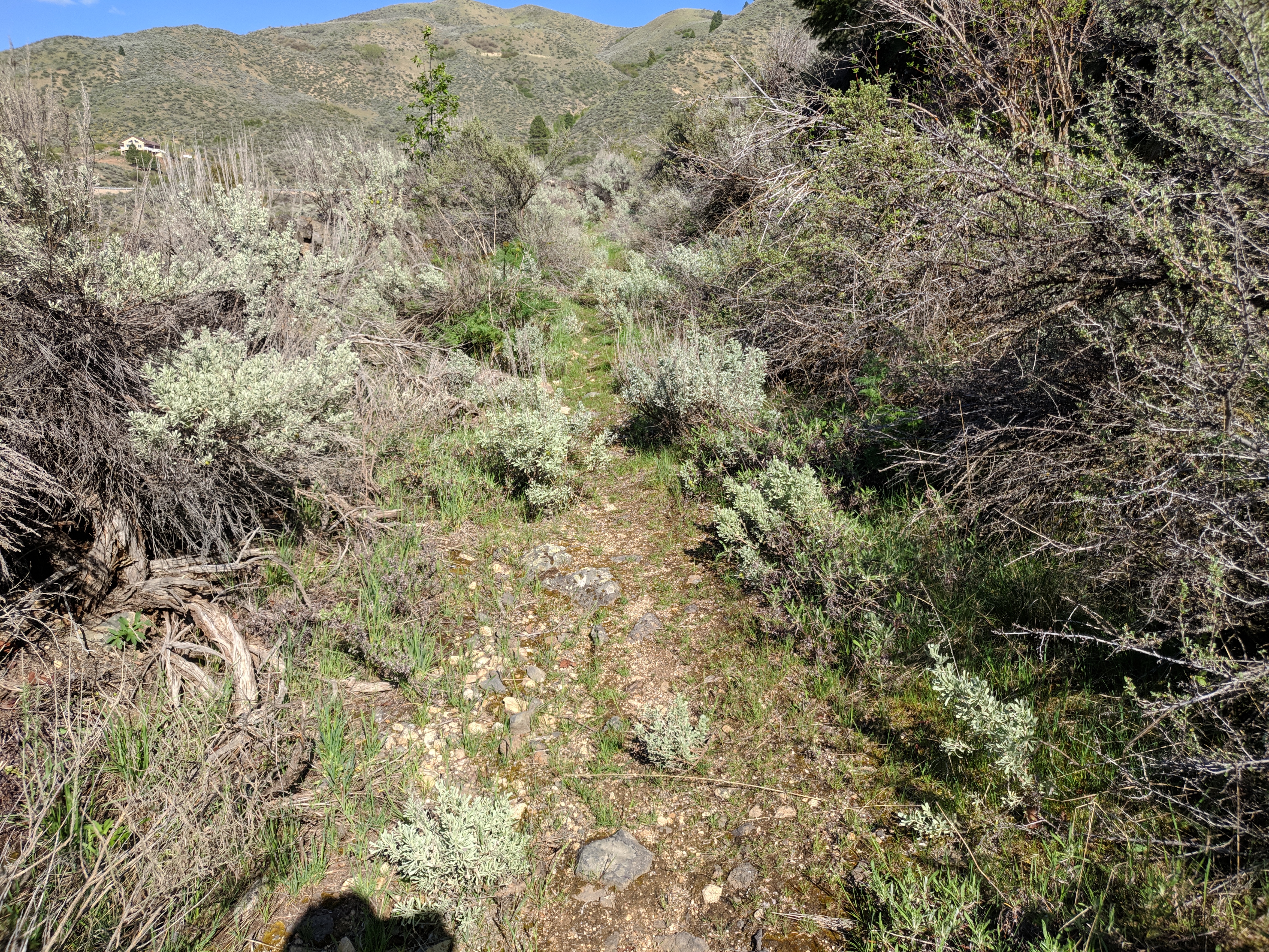
Well, it's still a steep mountain. Halfway up, we began to doubt whether we would make it, but also weren't so sure about turning around and going back down. One party member proceeded upward and out of sight. Shortly, he returned and confirmed that he had reached the top, so it was possible. We slowly made our way up to follow him, and eventually all made it to what appeared to be a trail.
Following the trail led us to the track road I had seen on the map, and from there we reached the hashpoint.


