Difference between revisions of "2020-12-10 47 -53"
(Created page with "{{meetup graticule | lat=47 | lon=-53 | date=2020-12-10 }} __NOTOC__ == Location == Near the Wilds Golf Course == Participants == Thomas Kathryn - My daug...") |
(→Photos) |
||
| Line 25: | Line 25: | ||
== Photos == | == Photos == | ||
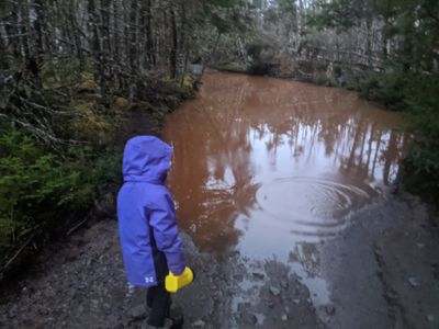
| − | + | [[File:PXL 20201210 200147879.MP.jpg|400px|Bit of a challenge]] | |
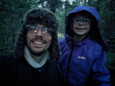
| − | [[ | + | [[File:PXL 20201210 200904601.NIGHT.jpg|400px|Final location in the woods under cover]] |
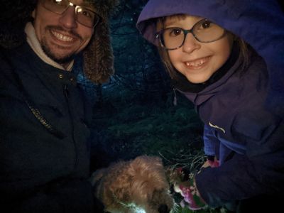
| − | + | [[File:PXL 20201210 200956796.jpg|400px|The whole gang]] | |
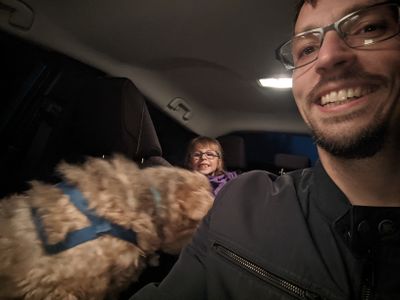
| + | [[File:PXL_20201210_202808806.jpg|400px|Back safe in the car]] | ||
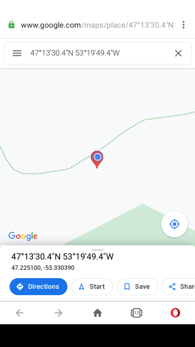
| + | [[File:Screenshot 20201210-163815.png|400px|Final location. True spot was a bit farther, but there was quite a dropoff, so we got as close as we could.]] | ||
== Achievements == | == Achievements == | ||
Latest revision as of 22:15, 10 December 2020
| Thu 10 Dec 2020 in 47,-53: 47.2250964, -53.3303935 geohashing.info google osm bing/os kml crox |
Location
Near the Wilds Golf Course
Participants
Kathryn - My daughter
Teddy - My dog
Plans
Planning to head down to the location with my youngest daughter and our dog. The geohash location is just off a woods road, so should be pretty accessible.
Expedition
Headed off on the highway and about 45 minutes later arrived at the woods road location. Getting close to night fall, so had to quickly trek into the woods. Ran across a number of large puddles and had to navigate around them. Took pictures of some of the largest.
We did find the spot though (well...pretty close)! First successful geohash for me in about 8 years. Some photos below of us at the spot, some of the challenges we over came, and a photo from the car. Just got back before it would have been too dark to continue.
