Difference between revisions of "Vaala, Finland"
From Geohashing
m (Replacing Peeron with Geohashing.info) |
m (Marking as active due to a recent expedition) |
||
| Line 44: | Line 44: | ||
| − | [[Category: | + | [[Category:Active graticules]] |
[[Category:Finland]] | [[Category:Finland]] | ||
Revision as of 16:42, 11 February 2024
| Oulu | Pudasjärvi West | Pudasjärvi East |
| Kempele | Vaala | Kajaani |
| Haapajärvi | Kiuruvesi | Iisalmi |
|
Today's location: geohashing.info google osm bing/os kml crox | ||
This graticule is located at 64,26. Today's location
This graticule is sparsely populated. Population density in the area is about 2 people per square km. The biggest population centers are Vaala and Utajärvi.
The graticule includes the western parts of lake Oulujärvi, which is the 4th biggest lake of Finland.
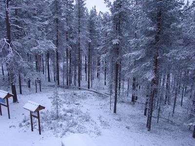
Rokua National Park lies within this graticule. The historical road Keisarintie (Emperor's road), which used to be the main road between the cities Oulu and Kajaani, goes through the National Park. (Note: don't attempt to drive through the road with a car with too low suspension. It's bumpy.)
Note that the graticule is distorted due to the proximity of North Pole.
Local Geohashers
None.
Meetups
- 1. 2013-05-26 Reached successfully by Pastori and The Wife.
