Difference between revisions of "2024-04-23 47 8"
From Geohashing
Globescorer (talk | contribs) (→Plans) |
Globescorer (talk | contribs) (→Photos) |
||
| Line 20: | Line 20: | ||
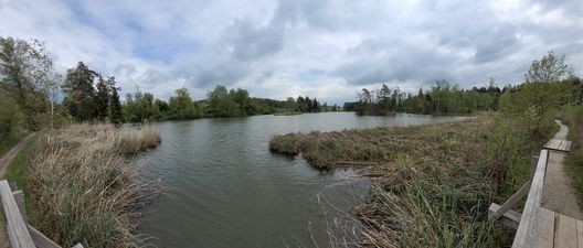
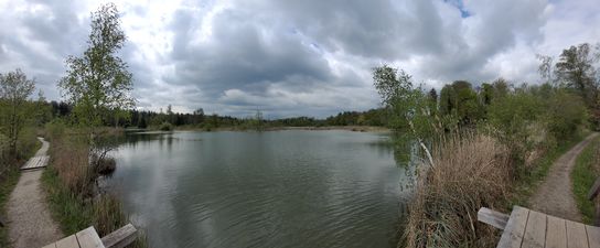
File:2024-04-23 47 8 Husemersee 1.jpg |view to the nature reserve Husemersee | File:2024-04-23 47 8 Husemersee 1.jpg |view to the nature reserve Husemersee | ||
File:2024-04-23 47 8 sign.jpg |Sign at the parking | File:2024-04-23 47 8 sign.jpg |Sign at the parking | ||
| − | File:2024-04-23 47 8 The Geohash.jpg |The geohash | + | File:2024-04-23 47 8 The Geohash.jpg |The geohash himself |
File:2024-04-23 47 8 selfie.jpg |selfie | File:2024-04-23 47 8 selfie.jpg |selfie | ||
File:2024-04-23 47 8 panorama.jpg |Panorama | File:2024-04-23 47 8 panorama.jpg |Panorama | ||
Revision as of 22:12, 23 April 2024
| Tue 23 Apr 2024 in 47,8: 47.6238713, 8.7130123 geohashing.info google osm bing/os kml crox |
Location
This Geohash is located next to a gravel road near Ossingen (ZH) close to the Husemersee.
Participants
Plans
going there in my free afternoon before I collect my kids by their grandmother...
Expedition
Success!
Report to come...
Photos
Ribbons
globescorer earned the Land geohash achievement
|


