Difference between revisions of "2024-07-24 50 11"
From Geohashing
(backbone 2) |
|||
| Line 10: | Line 10: | ||
Today's location is next to a tiny stream in the forest near Mörsdorf, not far from the ''Autobahnkreuz Hermsdorfer Kreuz''. | Today's location is next to a tiny stream in the forest near Mörsdorf, not far from the ''Autobahnkreuz Hermsdorfer Kreuz''. | ||
| − | Country: Germany; state: | + | Country: Germany; state: Thüringen (Thuringia, EU:DE:TH); district: Saale-Holzland-Kreis; municipality: Mörsdorf. |
Weather: sunny with clouds | Weather: sunny with clouds | ||
| Line 17: | Line 17: | ||
===[[User:Danatar|Danatar]]=== | ===[[User:Danatar|Danatar]]=== | ||
| − | This expedition is the second part of an Ultra Hash (4 geohashes on the same day) | + | This expedition is the second part of an Ultra Hash (4 geohashes on the same day): |
| − | |||
{| class="wikitable" border="1" cellpadding="5" cellspacing="0" | {| class="wikitable" border="1" cellpadding="5" cellspacing="0" | ||
|- | |- | ||
| Line 39: | Line 38: | ||
{{gallery|width=200|height=200|lines=2 | {{gallery|width=200|height=200|lines=2 | ||
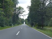
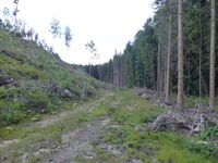
| − | |Image:2024-07- | + | |Image:2024-07-24_50_11_weg1.jpg|Along a street... |
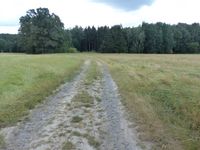
| − | |Image:2024-07-24_50_11_gps.jpg| | + | |Image:2024-07-24_50_11_weg2.jpg|...and a track... |
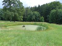
| − | |Image:2024-07-24_50_11_hp.jpg| | + | |Image:2024-07-24_50_11_teich.jpg|...past a pond... |
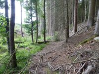
| − | |Image:2024-07-24_50_11_spot.jpg| | + | |Image:2024-07-24_50_11_wald1.jpg|...through the forest... |
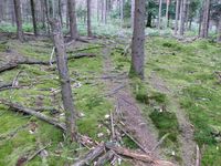
| − | |Image:2024-07-24_50_11_pano.jpg| | + | |Image:2024-07-24_50_11_weg3.jpg|...along another track... |
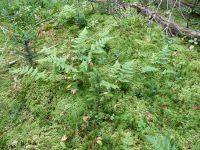
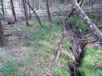
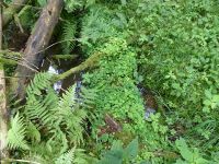
| + | |Image:2024-07-24_50_11_moos.jpg|...over moss and ferns... | ||
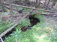
| + | |Image:2024-07-24_50_11_bach.jpg|...across the tiny stream... | ||
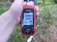
| + | |Image:2024-07-24_50_11_gps.jpg|GPS | ||
| + | |Image:2024-07-24_50_11_hp.jpg|Coordinates reached 2 | ||
| + | |Image:2024-07-24_50_11_spot.jpg|hashpoint | ||
| + | |Image:2024-07-24_50_11_pano.jpg|panorama | ||
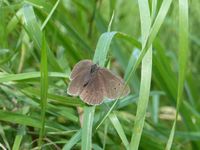
| + | |Image:2024-07-24_50_11_schmetterling1.jpg|butterfly | ||
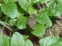
| + | |Image:2024-07-24_50_11_schmetterling2.jpg|butterfly | ||
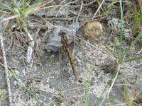
| + | |Image:2024-07-24_50_11_libelle.jpg|dragonfly | ||
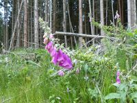
| + | |Image:2024-07-24_50_11_fingerhut.jpg|foxglove | ||
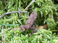
| + | |Image:2024-07-24_50_11_frosch.jpg|frog | ||
| + | |Image:2024-07-24_50_11_stammbruecke.jpg| | ||
| + | |Image:2024-07-24_50_11_weg4.jpg| | ||
}} | }} | ||
Revision as of 14:14, 25 July 2024
| Wed 24 Jul 2024 in Erfurt: 50.8600000, 11.8109109 geohashing.info google osm bing/os kml crox |
Location
Today's location is next to a tiny stream in the forest near Mörsdorf, not far from the Autobahnkreuz Hermsdorfer Kreuz.
Country: Germany; state: Thüringen (Thuringia, EU:DE:TH); district: Saale-Holzland-Kreis; municipality: Mörsdorf.
Weather: sunny with clouds
Expedition
Danatar
This expedition is the second part of an Ultra Hash (4 geohashes on the same day):
| 09 | 10 | 11 | 12 | |
|---|---|---|---|---|
| 50 | 4) 50 9 | 3) 50 10 | 2) 50 11 | 1) 50 12 |
Story ....
|
tracklog
File: willfollow.gpx does not exist. Reload?
