Difference between revisions of "2024-09-30 47 8"

From Geohashing
(Photos)
(Expedition)
Line 11: Line 11:
 
== Expedition ==
 
== Expedition ==
  
This geohash seemed doable. But is there enough time for that? I have to finish the building application for my parents and other errands...
+
report to do...
 
 
When everything was settled, I looked at the times on Google Maps and thought: it could be tight, but if the terrain is good on site it will be enough.


So overall it was a quick thing, but the location at the coordinates was wonderful. 20 minutes there and 20 minutes back after the visit by car.


In between, I entered another world through the thicket at the edge of the forest. Lush green everywhere and slightly sloping terrain... ...but it got steeper and steeper and I saw a stream below that apparently had to be crossed! I passed a fox hole and luckily it had some logged wood that I could use as a bridge.


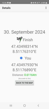
Over there it was a steep climb again to the coordinates. Everything looked simpler in the aerial photo... But the location was very nice! There should actually be a geocache here. I took a quick breather, then took my photos and then I had to go back. Time was running out. -> Speedrun


'''It was worth it! Success!'''


== Photos ==
 
== Photos ==

Revision as of 13:48, 30 September 2024

Tue 24 Sep 2024 in 47,8:
47.5219591, 8.8309798
geohashing.info google osm bing/os kml crox

Location

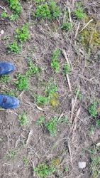
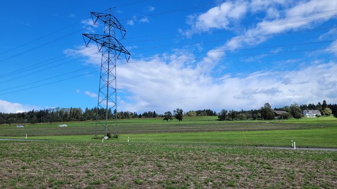
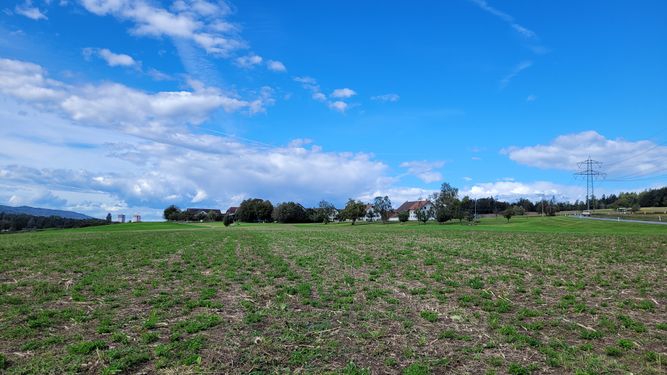
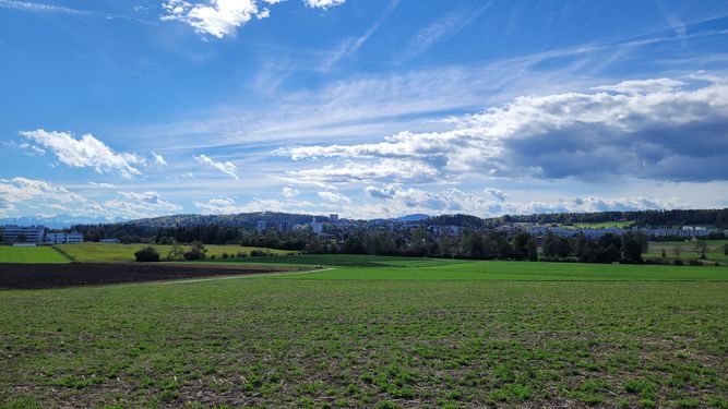
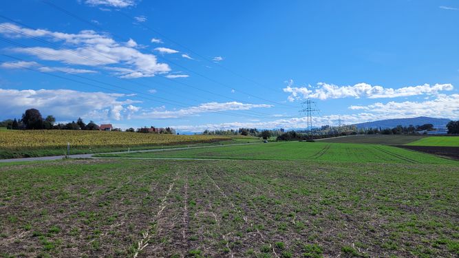
This Geohash is located in a field near Katzenrüti.

Participants

Plans

going there in my lunchtime.

Expedition

report to do...

Photos

Achievements

Landgeohash.png
globescorer earned the Land geohash achievement
by reaching the (47, 8) geohash on 2024-09-24.
2024-09-24 47 8 The Geohash.jpg
Speedrun.png
globescorer earned the Speedrun achievement
by completing their entire expedition to and from the 2024-09-24 geohash in 55 minutes.