Difference between revisions of "2025-03-17 47 8"
From Geohashing
Globescorer (talk | contribs) (→Expedition) |
Globescorer (talk | contribs) (→Achievements) |
||
| Line 47: | Line 47: | ||
{{#vardefine:ribbonwidth|100%}} | {{#vardefine:ribbonwidth|100%}} | ||
{{land geohash|date=2025-03-17|latitude=47|longitude=8|name=[[User:globescorer|globescorer]]|image=2025-03-17 47 8 The Geohash.jpg}} | {{land geohash|date=2025-03-17|latitude=47|longitude=8|name=[[User:globescorer|globescorer]]|image=2025-03-17 47 8 The Geohash.jpg}} | ||
| + | |||
| + | __NOTOC__ | ||
| + | |||
| + | [[Category:Expeditions]] | ||
| + | [[Category:Expeditions with photos]] | ||
| + | [[Category:Coordinates reached]] | ||
{{location|CH|ZH}} | {{location|CH|ZH}} | ||
Latest revision as of 08:27, 18 March 2025
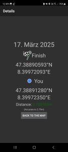
| Mon 17 Mar 2025 in 47,8: 47.3889059, 8.3997209 geohashing.info google osm bing/os kml crox |
Location
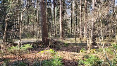
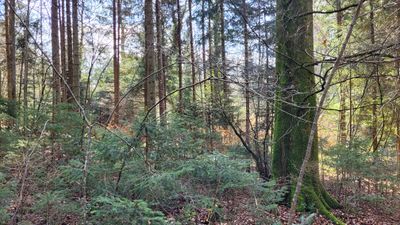
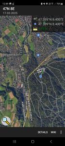
This Geohash is located in a forest near Dietikon (ZH), Switzerland.
Participants
Plans
Visiting this geohash in my lunchtime.
Expedition
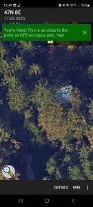
Success!
In my lunchtime I drove about 30km to a forest near Dietikon. Parked the car and made a beautiful little walk through the trees to the coordinates. Except that, nothing else special happened... then I drove back to the office.
Photos

nice path to go
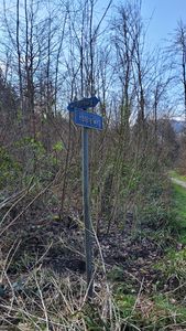
sign nearby

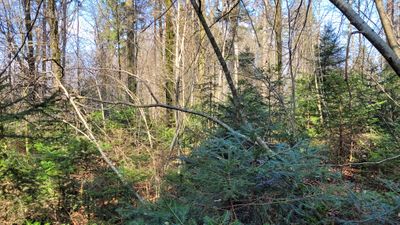
wider path

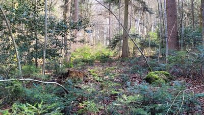
now ito the Undergrowth
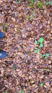
The Geohash: Ground


The Geohash: east
The Geohash: north
The Geohash: west
The Geohash: south
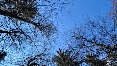
The Geohash: Sky
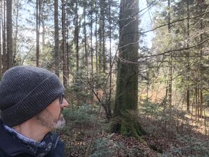
selfie


Proof 2
Proof 1
zoomed out


Achievements
globescorer earned the Land geohash achievement
|