Difference between revisions of "2008-08-11 33 -84"
From Geohashing
imported>Coreycubed |
imported>Thomcat (Success/failure category added) |
||
| Line 27: | Line 27: | ||
[[Category:Expeditions]] | [[Category:Expeditions]] | ||
[[Category:Expeditions with photos]] | [[Category:Expeditions with photos]] | ||
| + | [[Category:Coordinates reached]] | ||
| + | [[Category:Expedition without GPS]] | ||
Revision as of 15:19, 13 August 2008
| Mon 11 Aug 2008 in 33,-84: 33.9608377, -84.0313900 geohashing.info google osm bing/os kml crox |
People
People who reached these coordinates:
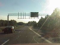
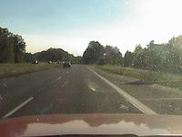
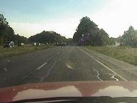
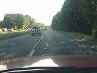
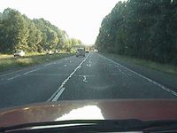
- NWoodruff and I drove through at 6:50pm local time. I arrived at about 6:45pm local time. I pulled over on the side of the highway where it spits from the exit ramp. I walked up the side of the highway and counted the number of dashed lines from the Google map and passed the corresponding white dashed lines on the road. I noticed where the sun shown through the trees was where the hash point was. I actually drove through the hash point at about 35mph as the speed limit was 55. The first time that I tried driving past at 55, I was not able to get a picture of the exact spot. I had to turn around and drive back through. This time I slowed to make sure I got the exact spot. Notice the distance the white truck from me in the first picture to the second picture.
I turned around again and stoped at the exit ramp and waited for other local Atlanta Geohashers. I left at about 7:20pm as in nobody else showed up.
Gallery
- Photo Gallery
Me (NWoodruff) qualifying for another Speed Racer Achievement.
