Difference between revisions of "2008-08-17 -35 149"
From Geohashing
imported>Thomcat (Success/failure category added) |
imported>Polysylabic Pseudonym (→Photos) |
||
| Line 25: | Line 25: | ||
== Photos == | == Photos == | ||
| − | ... | + | <gallery caption="The hash" widths="200px" heights="200px" perrow="3"> |
| + | Image:2008-08-17-pict5457 Sunny day.jpg|It was a sunny day. | ||
| + | Image:2008-08-17-pict5425 Psud arrives late.jpg|Psud arrived late. | ||
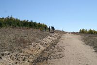
| + | Image:2008-08-17-pict5426 Llandorin Deb and Nemo.jpg|Llandorin, Deb and Nemo were already there, but 50 metres from the hash. | ||
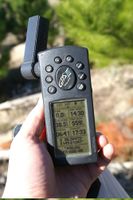
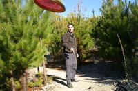
| + | Image:2008-08-17-pict5427 At the geohash.jpg|We reached the hash point. | ||
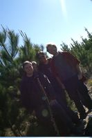
| + | Image:2008-08-17-pict5432 Group shot with treepod.jpg|Psud left the tripod in the car, so tied the camera to a tree. | ||
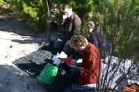
| + | Image:2008-08-17-pict5435 Picnic.jpg|This is a picnic. | ||
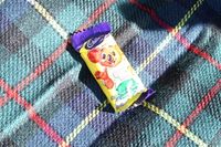
| + | Image:2008-08-17-pict5434 A caramello koala.jpg|This is a caramello koala. | ||
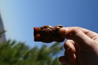
| + | Image:2008-08-17-pict5437 Caramello koala with salsa.jpg|This is a naked caramello koala dipped in salsa. An acquired taste. | ||
| + | Image:2008-08-17-pict5438 The area around the hash.jpg|The hash was in the Mt Stromlo pine forest which was destroyed by bushfire in 2003. | ||
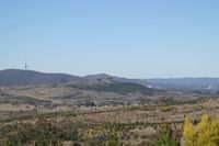
| + | Image:2008-08-17-pict5442 Tower Civic and the Capt Cook Memorial Water Jet.jpg|Oblig tower shot, plus a little bit of Canberra City, and the Captain Cook Memorial Water Jet as seen from the hash point. | ||
| + | Image:2008-08-17-pict5452 Frisbee.jpg|Nemo's frisbee was flung. | ||
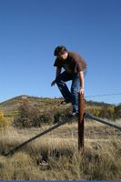
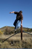
| + | Image:2008-08-17-pict5459 Returning over the fence.jpg|We left the same way we came - over a barbed wire fence. | ||
| + | Image:2008-08-17-pict5463 over the fence.jpg|Nemo jumped it well. | ||
| + | Image:2008-08-17-pict5466 Psud over the fence.jpg|Psud Climbed it carefully. | ||
| + | Image:2008-08-17-pict5467 and over.jpg|And both got over. Llandorin and Deb had left earlier. | ||
| + | Image:2008-08-17-pict5481 No ducks were seen.jpg|The sign warned of ducks. None were seen. | ||
| + | </gallery> | ||
[[Category:Expeditions]] | [[Category:Expeditions]] | ||
| − | + | [[Category:Expeditions with photos]] | |
[[Category:Coordinates reached]] | [[Category:Coordinates reached]] | ||
| + | [[Category:Meetup on 2008-08-17]] | ||
Revision as of 17:08, 14 October 2008
| Sun 17 Aug 2008 in -35,149: -35.3047357, 149.0104490 geohashing.info google osm bing/os kml crox |
A Canberra Geohash in several easy steps
- Llandorin and Deb park at the nearest spot to the hashpoint
- Geohash point is on the northern slopes of Mt Stromlo
- Nemo arrives a minute later
- He had been investigating the inability to drive to the roads on the other side of the bardwire fences
- The three of them trek over a barbwire fence and to a dirt road which is reckoned by dodgy phone GPS as the point.
- Yay Nokia
- Psud arrives with superior GPS-fu, and leads another 50 to a mountain bike trail through the edge of the pine trees, and this indeed WAS the geohash point.
- This was more in line with what google maps thought too
- Despite being on a bike trail, we did NOT achieve a bicycle geohash
- Picnic and photos taken
- Gastronomical discovery of the picnic: Liquorice and salsa. Taste to your own imagination and/or experimentation.
- No robo-camera though
- ???
- But seriously, ???
- PROFIT!!!
- We will try not to spend it all on beer and hookers. Honestly.
Photos
- The hash
