Difference between revisions of "2008-10-06 -33 151"
imported>CJ (Added photos) |
imported>CJ (Added ribbons) |
||
| Line 17: | Line 17: | ||
* [[User:Gormster|Gormster]] | * [[User:Gormster|Gormster]] | ||
| + | |||
| + | {{land geohash | ||
| + | | latitude = -33 | ||
| + | | longitude = 151 | ||
| + | | date = 2008-10-06 | ||
| + | | name = CJ & Gormster | ||
| + | | image = CJ_049.JPG | ||
| + | }}{{mnimb geohash | ||
| + | | latitude = -33 | ||
| + | | longitude = 151 | ||
| + | | date = 2008-10-06 | ||
| + | | name = CJ & Gormster | ||
| + | | image = CJ_045.JPG | ||
| + | }}{{Meetup geohash | ||
| + | | latitude = -33 | ||
| + | | longitude = 151 | ||
| + | | date = 2008-10-06 | ||
| + | | name = CJ & Gormster | ||
| + | | other = each other | ||
| + | | image = CJ_049.JPG | ||
| + | }} | ||
==Report== | ==Report== | ||
Revision as of 08:05, 6 October 2008
| Mon 6 Oct 2008 in -33,151: -33.8069921, 151.1466470 geohashing.info google osm bing/os kml crox |
Contents
Location
Located amongst dense bushland in an industrial area at the end of Sirius Road, Lane Cove. On the map and satellite this one looked like it should be fairly easy. It turned out it wasn't...
Attendees
Visit #1
Visit #2
CJ & Gormster earned the Land geohash achievement
|
CJ & Gormster earned the Meet-up achievement
|
Report
flowblok's Report
I set off at 3:30, expecting it to be relatively easy to get to - it would have been, however, a lack of preperation meant that I didn't notice that Orion Road was actually Sam Johnson Way where it meets Epping Road, and the Google Maps top-down image looked nothing like my Real Life front-on view.
At 3:55-ish I headed into a bit of bushland north of the geohash, spent about 15 minutes following trails, and then giving up and heading home at 4:30.
CJ and Gormster's Report
Coming soon.
Photos
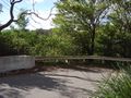
The cliff over which the hashpoint was located
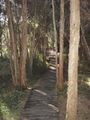
We had to go on a long bushwalk instead. Along the boardwalk...
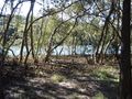
Past the mangroves...
Through the grasslands...
Along the fence of a construction site...
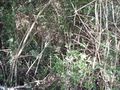
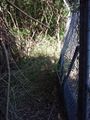
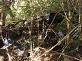
And into this kind of dense bushland.
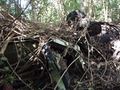
We found one wrecked car...
And then another.
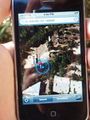
Finally we reached the hashpoint!

CJ and Gormster
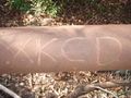
Leaving a reminder of our visit
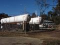
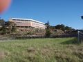
On our way out we found the back of an industrial facility...
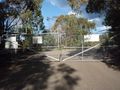
Turned out we were on the wrong side of a locked security gate!
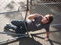
Gormster climbs back OUT through the gate


