Difference between revisions of "2009-03-03 29 -81"
From Geohashing
imported>ReletBot m (mv template as per Naming conventions) |
imported>FippeBot m (Location) |
||
| Line 43: | Line 43: | ||
[[Category:Expeditions]] | [[Category:Expeditions]] | ||
[[Category:Coordinates not reached]] | [[Category:Coordinates not reached]] | ||
| + | {{location|US|FL|CY}} | ||
Revision as of 02:06, 8 August 2019
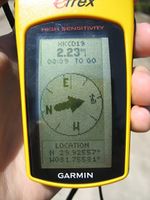
| Tue 3 Mar 2009 in Daytona Beach, Florida: 29.8932854, -81.7547157 geohashing.info google osm bing/os kml crox |
Expeditions
Geohashers in Attendance
The Drive
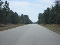
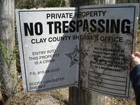
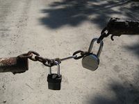
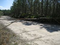
The hash point was located a bit south of Green Cove Springs, FL. I left for the hash with a vague idea of where I was going. I had my trusty iPhone to give me directions. On the way down, I had the pleasure of driving on Springbank Rd. Springbank is a lonely road connecting nowhere to nowhere. I didn't see another car the whole time I was on it. About 5 miles from SR 16 I found Dan Moody Rd. About 100 yards after the turn there was a gate with not one, not two, but three locks keeping it shut. There were also signs from the Clay Country Sheriffs Office telling people to keep off the land. I obeyed their broken signs, took some pictures, and went on my way with a no trespassing.
Gallery
- Photo Gallery
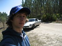
Woodveil earned the No trespassing consolation prize
|
