Difference between revisions of "2009-03-14 40 -88"
imported>Brettdaniel |
imported>Brettdaniel |
||
| Line 26: | Line 26: | ||
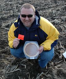
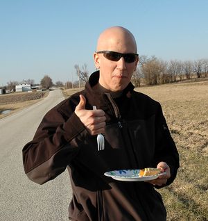
[[Image:2009-03-14_40_-88_nathan_with_flag_and_pie.jpg|x257px|Nathan with flag and pie]] | [[Image:2009-03-14_40_-88_nathan_with_flag_and_pie.jpg|x257px|Nathan with flag and pie]] | ||
| − | They returned to the car by following the tree line north of the field. There they found a truck path that they realized would have made the trek much easier than slogging through the muddy field. | + | They returned to the car by following the tree line north of the field. There they found a truck path that they realized would have made the trek much easier than slogging through the muddy field. They also saw some spent shotgun shells in the grass. Alejandro worried that a crazed shotgun-wielding farmer would attack defenseless geohashers. |
| + | |||
| + | [[Image:2009-03-14 40 -88 shotgun shells.jpg|300px|Shotgun shells]] | ||
| + | |||
| + | Alejandro and Nathan reunited with Brett at the car. The walk back had shaken most of the mud off of their shoes, but the remainder still extended to their ankles. | ||
[[Image:2009-03-14 40 -88 alejandro muddy shoes.jpg|x300px|Alejandro's muddy shoes]] | [[Image:2009-03-14 40 -88 alejandro muddy shoes.jpg|x300px|Alejandro's muddy shoes]] | ||
Revision as of 19:20, 15 March 2009
| Sat 14 Mar 2009 in Champaign/Urbana, Illinois: 40.5407367, -88.1119046 geohashing.info google osm bing/os kml crox |
The graticule's Pi Day coordinates fell in a field near Loda, Illinois.
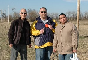
Expedition by Brett, Alejandro, and Nathan
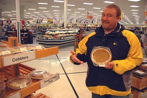
We made plans the night before to eat pie at the Pi Day geohashing point. The day of, we left the UIUC campus around 3:00, stopping to pick up a pumpkin pie at the local grocery store.
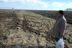
It was an easy straight drive from campus to Loda, Illinois. From there, country roads took us to within about 2,000 feet of the coordinates. A muddy cornfield separated the road from the precise point. We got our pie and marker flag out of the car and began hiking down a grassy drainage path. The path took us to within about 1,000 feet.
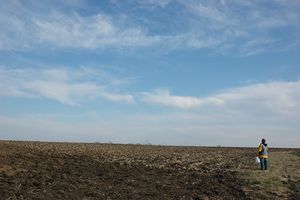
Brett stayed on the path while Nathan and Alejandro hiked the rest of the way to the coordinates. The mud caked to their shoes slowed their progress, but they eventually made it and planted a marker flag.
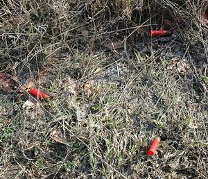
They returned to the car by following the tree line north of the field. There they found a truck path that they realized would have made the trek much easier than slogging through the muddy field. They also saw some spent shotgun shells in the grass. Alejandro worried that a crazed shotgun-wielding farmer would attack defenseless geohashers.
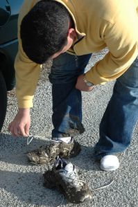
Alejandro and Nathan reunited with Brett at the car. The walk back had shaken most of the mud off of their shoes, but the remainder still extended to their ankles.
Then we ate pie!
