Difference between revisions of "2009-08-14 33 -84"
From Geohashing
imported>NWoodruff m (→Gallery) |
imported>NWoodruff (→Gallery) |
||
| Line 31: | Line 31: | ||
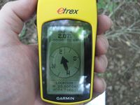
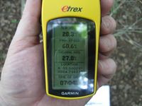
Image:2009081433-84NW04.JPG| Time of the Meetup | Image:2009081433-84NW04.JPG| Time of the Meetup | ||
Image:2009081433-84NW05.JPG| Date of the meetup. | Image:2009081433-84NW05.JPG| Date of the meetup. | ||
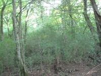
| − | Image:2009081433-84NW06.JPG| | + | Image:2009081433-84NW06.JPG| A picture from the actual hash point. |
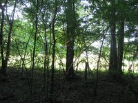
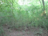
| − | Image:2009081433-84NW07.JPG| | + | Image:2009081433-84NW07.JPG| The thick woods that I had to climb through. |
| − | Image:2009081433-84NW08.JPG| | + | Image:2009081433-84NW08.JPG| The direction that I came from. |
Image:2009081433-84NW09.JPG| Me with Stupid Grin™ AND really hot. | Image:2009081433-84NW09.JPG| Me with Stupid Grin™ AND really hot. | ||
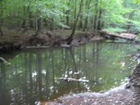
| − | Image:2009081433-84NW10.JPG| | + | Image:2009081433-84NW10.JPG| The river that I had to cross. |
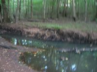
| − | Image:2009081433-84NW11.JPG| | + | Image:2009081433-84NW11.JPG| The place where I actually jumped across and made it. |
</gallery> | </gallery> | ||
Revision as of 19:57, 17 August 2009
| Fri 14 Aug 2009 in Atlanta: 33.8002444, -84.7159999 geohashing.info google osm bing/os kml crox |
Graticule
About
Expedition
NWoodruff
I looked at this hash point early in the day just as the market open price was released. It turned out to be in a pond of water. Being on as many Geohashes as I have been on, I knew not to rely on Google to place the exact point. I was hoping that when I got there that hash point would be in fact on land.
I drove there after work and made it out to the pond. It had a big iron fence that was right at the water line. It turns out that Google this time was correct and the Geohash point is in the water.
Gallery
- Photo Gallery
- 2009081433-84NW01.JPG
- 2009081433-84NW02.JPG
Achievements
NWoodruff earned the Land geohash achievement
|
