Difference between revisions of "2009-09-08 41 -71"
From Geohashing
imported>Manu m (expedition page) |
imported>Reinhard (gallery) |
||
| Line 9: | Line 9: | ||
| − | <gallery caption="Photo Gallery" widths="200px" heights="200px" perrow=" | + | <gallery caption="Photo Gallery" widths="200px" heights="200px" perrow="4"> |
| − | Image:20090908-41N71W-01.jpg| | + | Image:20090908-41N71W-01.jpg|The place where we parked. |
| + | Image:20090908-41N71W-02.jpg|Reinhard walking. | ||
| + | Image:20090908-41N71W-03.jpg|Nice pond. | ||
| + | Image:20090908-41N71W-04.jpg|Arcadia sign. | ||
| + | Image:20090908-41N71W-05.jpg|Manu walking along the road. | ||
| + | Image:20090908-41N71W-06.jpg|Should we collect some geotrash? | ||
| + | Image:20090908-41N71W-07.jpg|Reinhard was seriously injured by this raptor rock. | ||
| + | Image:20090908-41N71W-08.jpg|Manu getting closer to the hashpoint. | ||
| + | Image:20090908-41N71W-09.jpg|Coordinates reached! | ||
| + | Image:20090908-41N71W-10.jpg|Manu, Wischi and Reinhard at their globetrotter geohash. | ||
| + | Image:20090908-41N71W-11.jpg|Big spider. | ||
| + | Image:20090908-41N71W-12.jpg|Mt Tom Trail. | ||
</gallery> | </gallery> | ||
Revision as of 15:20, 11 September 2009
| Tue 8 Sep 2009 in 41,-71: 41.5758507, -71.7359792 geohashing.info google osm bing/os kml crox |
Manu and Reinhard found the geohash near Mt Tom trail.
- Photo Gallery
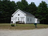
The place where we parked.
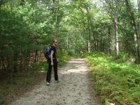
Reinhard walking.
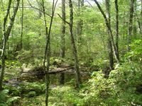
Nice pond.
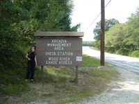
Arcadia sign.
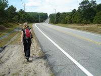
Manu walking along the road.
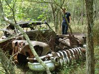
Should we collect some geotrash?
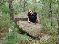
Reinhard was seriously injured by this raptor rock.

Manu getting closer to the hashpoint.
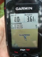
Coordinates reached!
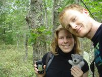
Manu, Wischi and Reinhard at their globetrotter geohash.
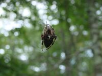
Big spider.
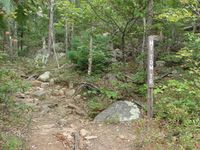
Mt Tom Trail.


