Difference between revisions of "2010-03-12 34 -84"
From Geohashing
imported>NWoodruff (→Achievements) |
imported>NWoodruff (→Gallery) |
||
| Line 26: | Line 26: | ||
== Gallery == | == Gallery == | ||
<gallery caption="Photo Gallery" widths="200px" heights="200px" perrow="3"> | <gallery caption="Photo Gallery" widths="200px" heights="200px" perrow="3"> | ||
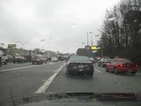
| − | Image:20100312_34_-84NW01.JPG| | + | Image:20100312_34_-84NW01.JPG | Traffic getting onto the interstate. |
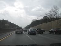
| + | Image:20100312_34_-84NW02.JPG | Traffic once on the interstate. | ||
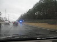
| + | Image:20100312_34_-84NW03.JPG | Traffic for as far as you could see. | ||
| + | Image:20100312_34_-84NW04.JPG | Ah... The reason.... | ||
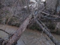
| + | Image:20100312_34_-84NW05.JPG | Another river that I had to cross. The is the only way across. | ||
| + | Image:20100312_34_-84NW06.JPG | I made it across. Only another 300 feet or so to go. | ||
| + | Image:20100312_34_-84NW07.JPG | 2.49 feet to go. Close enough. | ||
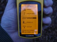
| + | Image:20100312_34_-84NW08.JPG | Time of the meetup. | ||
| + | Image:20100312_34_-84NW09.JPG | Date of the meetup. | ||
| + | Image:20100312_34_-84NW10.JPG | 13 feet accuracy. | ||
| + | Image:20100312_34_-84NW11.JPG | Looking west towards the interstate. It was close enough that I could make out the bigger trucks going by. | ||
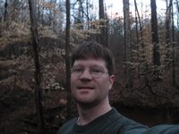
| + | Image:20100312_34_-84NW12.JPG | Me standing on the exact Geohash spot, getting rained on. | ||
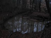
| + | Image:20100312_34_-84NW13.JPG | The huge frog pond. There were so many frogs in this pond making so much noise that I could heard them from where I parked 1/2 mile away. | ||
</gallery> | </gallery> | ||
Revision as of 16:44, 21 March 2010
| Fri 12 Mar 2010 in Roswell: 34.0449015, -84.0250764 geohashing.info google osm bing/os kml crox |
Graticule
About
200 yards into the woods near the split of I-85 and I-985 near Suwanee Georgia
People
Expeditions
Gallery
- Photo Gallery
Achievements
NWoodruff earned the Land geohash achievement
|
NWoodruff earned the Consecutive geohash achievement
|
