Difference between revisions of "2010-04-17 50 10"
From Geohashing
imported>Reinhard |
imported>Reinhard (→Photos) |
||
| Line 29: | Line 29: | ||
== Photos == | == Photos == | ||
| − | + | {{gallery|width=200|height=200|lines=2 | |
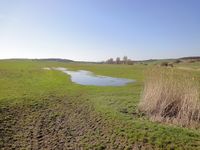
| − | Image: | + | |Image:20100417-50N10E-01.jpg|View to the hashpoint (about 650 m). |
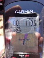
| − | -- | + | |Image:20100417-50N10E-02.jpg|Coordinates reached. |
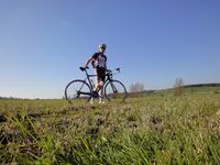
| − | + | |Image:20100417-50N10E-03.jpg|Reinhard at the hashpoint. | |
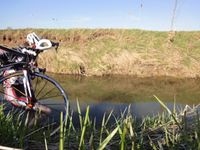
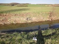
| − | + | |Image:20100417-50N10E-04.jpg|Crossing the small river. | |
| − | + | |Image:20100417-50N10E-05.jpg|The bike made it. I have to follow with my shoes. | |
| + | |Image:20100417-50N10E-06.jpg|Hashpoint was at the edge of the brown rectangle. | ||
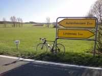
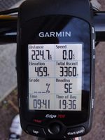
| + | |Image:20100417-50N10E-07.jpg|Tour finished. Reinhard satisfied. | ||
| + | }} | ||
[[Category:Expeditions]] | [[Category:Expeditions]] | ||
[[Category:Expeditions with photos]] | [[Category:Expeditions with photos]] | ||
| + | |||
[[Category:Coordinates reached]] | [[Category:Coordinates reached]] | ||
Revision as of 12:40, 18 April 2010
| Sat 17 Apr 2010 in 50,10: 50.2456688, 10.7655404 geohashing.info google osm bing/os kml crox |
Location
Participants
Plans
Expedition
Tracklog
Photos
|
