Difference between revisions of "2010-08-19 54 10"
From Geohashing
imported>Dawidi (quick writeup and pictures for an arguably not very interesting expedition) |
imported>Jiml m (Adjust result categories; Reformatting) |
||
| Line 4: | Line 4: | ||
| date=2010-08-19 | | date=2010-08-19 | ||
}} | }} | ||
| + | |||
| + | == Location == | ||
In a (not yet harvested) field north of Bad Malente-Gremsmühlen. | In a (not yet harvested) field north of Bad Malente-Gremsmühlen. | ||
| − | == [[User:dawidi|dawidi]] == | + | == Participants == |
| − | I had spent the afternoon visiting relatives near Preetz, and left them around 17:30. With a good tailwind helping me maintain a good speed without much effort, I cycled east to this geohash, found it inaccessible, chatted a bit with a hunter, and then coasted on to the train station in Bad Malente-Gremsmühlen. The train I meant to get on to bring me back to Kiel was canceled, so I spent half an hour getting a spring roll from a nearby | + | * [[User:dawidi|dawidi]] |
| + | |||
| + | == [[User:dawidi|dawidi]]'s Expedition == | ||
| + | I had spent the afternoon visiting relatives near Preetz, and left them around 17:30. With a good tailwind helping me maintain a good speed without much effort, I cycled east to this geohash, found it inaccessible, chatted a bit with a hunter, and then coasted on to the train station in Bad Malente-Gremsmühlen. The train I meant to get on to bring me back to Kiel was canceled, so I spent half an hour getting a spring roll from a nearby Chinese restaurant and eating it before the next train arrived. | ||
| − | <gallery> | + | == Photos == |
| + | <gallery perrow="3"> | ||
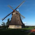
File:2010-08-19 54 10 old windmill.jpg|Old windmill in Grebin. | File:2010-08-19 54 10 old windmill.jpg|Old windmill in Grebin. | ||
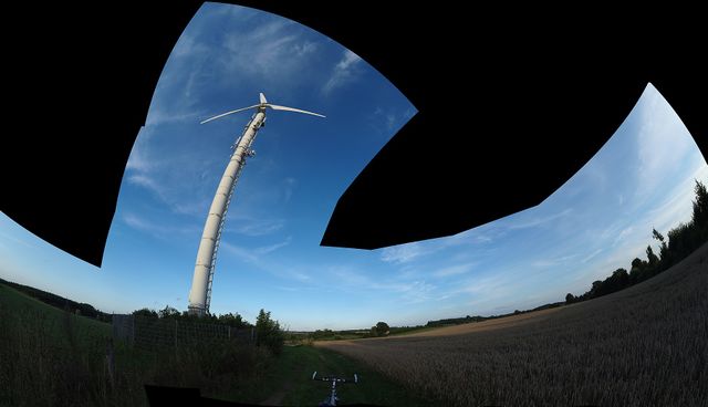
File:2010-08-19 54 10 windwidi.jpg|New windmill, and dawidi, near the geohash. | File:2010-08-19 54 10 windwidi.jpg|New windmill, and dawidi, near the geohash. | ||
| Line 16: | Line 22: | ||
File:2010-08-19 54 10 track.jpg|Field track west of the geohash. | File:2010-08-19 54 10 track.jpg|Field track west of the geohash. | ||
</gallery> | </gallery> | ||
| + | |||
[[File:2010-08-19 54 10 hashpano.jpg|thumb|640px|none|Somewhat of a panorama, 280m north of the hashpoint]] | [[File:2010-08-19 54 10 hashpano.jpg|thumb|640px|none|Somewhat of a panorama, 280m north of the hashpoint]] | ||
| + | |||
[[Category:Expeditions]] | [[Category:Expeditions]] | ||
[[Category:Expeditions with photos]] | [[Category:Expeditions with photos]] | ||
[[Category:Coordinates not reached]] | [[Category:Coordinates not reached]] | ||
| − | [[Category: | + | [[Category:Not reached - No public access]] |
Revision as of 18:19, 11 October 2010
| Thu 19 Aug 2010 in 54,10: 54.2114245, 10.5190795 geohashing.info google osm bing/os kml crox |
Location
In a (not yet harvested) field north of Bad Malente-Gremsmühlen.
Participants
dawidi's Expedition
I had spent the afternoon visiting relatives near Preetz, and left them around 17:30. With a good tailwind helping me maintain a good speed without much effort, I cycled east to this geohash, found it inaccessible, chatted a bit with a hunter, and then coasted on to the train station in Bad Malente-Gremsmühlen. The train I meant to get on to bring me back to Kiel was canceled, so I spent half an hour getting a spring roll from a nearby Chinese restaurant and eating it before the next train arrived.


