Difference between revisions of "2010-11-20 34 -83"
From Geohashing
imported>NWoodruff (→NWoodruff) |
imported>NWoodruff (→Gallery) |
||
| Line 31: | Line 31: | ||
<gallery caption="Photo Gallery" widths="200px" heights="200px" perrow="3"> | <gallery caption="Photo Gallery" widths="200px" heights="200px" perrow="3"> | ||
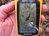
| − | Image:2010112034-83NW01.jpg | | + | Image:2010112034-83NW01.jpg | 2.06 feet to go. Close enough. |
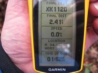
| + | Image:2010112034-83NW02.jpg | Time of the meetup. | ||
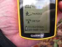
| + | Image:2010112034-83NW03.jpg | Date of the meetup. | ||
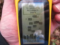
| + | Image:2010112034-83NW04.jpg | 14 feet accuracy. | ||
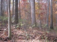
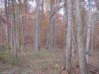
| + | Image:2010112034-83NW05.jpg | Looking North Standing on the Geohash spot. | ||
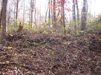
| + | Image:2010112034-83NW06.jpg | looking West up the hill towards the road. | ||
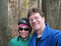
| + | Image:2010112034-83NW07.jpg | Me with my sister as a drag along. | ||
| + | Image:2010112034-83NW08.jpg | Looking East down the hill standing on the Geohash spot. | ||
</gallery> | </gallery> | ||
Revision as of 02:51, 23 November 2010
| Sat 20 Nov 2010 in Toccoa: 34.1520055, -83.5408657 geohashing.info google osm bing/os kml crox |
Graticule
About
Off of County Farm Road in Jefferson.
Expedition
NWoodruff
In a bizarre twist of fate, I agreed to go on a bicycle ride for today that passes 500 feet or so from this Geohash spot. I've been a big fan of this bicycle club and am going to ride this route Apple Valley Loop. It will pass by the hash point so close as I will have to stop.
I am a fan of long distance riding as you can see here. I am looking forward to today's ride.
I found the geohash spot with 1.25 feet to go. I took a few pictures and then continued on my way.
The ride can be found here
Gallery
- Photo Gallery
Achievements
NWoodruff earned the Land geohash achievement
|
Nathan earned the Bicycle geohash achievement
|
