Difference between revisions of "2011-08-06 50 10"
From Geohashing
imported>Reinhard (→Expedition) |
imported>Reinhard m (→Photos) |
||
| Line 19: | Line 19: | ||
== Photos == | == Photos == | ||
{{gallery|width=200|height=200|lines=2 | {{gallery|width=200|height=200|lines=2 | ||
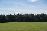
| − | |Image:20110806-50N10E-01.jpg|View to Inselsberg ( | + | |Image:20110806-50N10E-01.jpg|View to Inselsberg (916 m). |
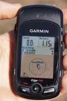
|Image:20110806-50N10E-02.jpg|Coordinates reached. | |Image:20110806-50N10E-02.jpg|Coordinates reached. | ||
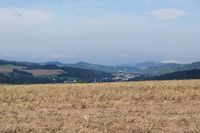
|Image:20110806-50N10E-03.jpg|View to Wartburg. | |Image:20110806-50N10E-03.jpg|View to Wartburg. | ||
Revision as of 14:09, 6 August 2011
| Sat 6 Aug 2011 in 50,10: 50.9349782, 10.4725153 geohashing.info google osm bing/os kml crox |
Location
Some meters into a field near Sättelstädt. Not far from a motorway exit.
Participants
Expedition
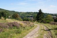
On Saturday Manu and Reinhard were driving to a wedding in Bonn. As this geohash was located not far from an exit of the highway they were using anyway, they decided to have a short geohashing break. They parked the car in Sättelstädt and walked the remaining 1.1 kilometres on a field way in the burning sun. Fortunately the field, on which the exact coordinates could be found, was already harvested. Quickly some photos of the sourrounding mountains and castles (including the famous Wartburg) were taken, before the hashers continued their journey.
Photos
|
Achievements
Reinhard and Manu earned the Formal attire achievement
|
