Difference between revisions of "2012-07-12 50 11"
imported>Jens m (→Expedition) |
imported>Jens |
||
| Line 23: | Line 23: | ||
| − | + | == Photos == | |
| − | + | {{gallery|width=200|height=200|lines=2 | |
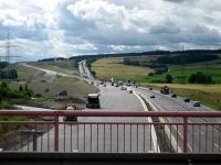
| − | + | |Image:120712 50 11 01.jpg|The freeway construction site near Magdala. | |
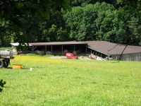
| + | |Image:120712 50 11 02.jpg|The dog farm. | ||
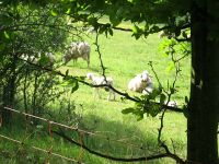
| + | |Image:120712 50 11 03.jpg|The unknowing sheep. | ||
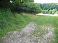
| + | |Image:120712 50 11 04.jpg|The path quality changes from 1km-level to 500m-level (on the left). | ||
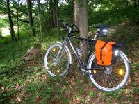
| + | |Image:120712 50 11 05.jpg|The parking area. | ||
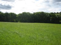
| + | |Image:120712 50 11 06.jpg|The meadow beside the point. | ||
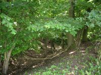
| + | |Image:120712 50 11 07.jpg|The patch of trees where the point is in (downhill of course). | ||
| + | |Image:120712 50 11 08.jpg|Coordinates reached. | ||
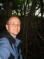
| + | |Image:120712 50 11 09.jpg|Stupid grin. | ||
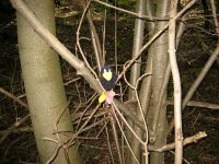
| + | |Image:120712 50 11 10.jpg|Räbe at the point. | ||
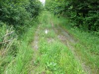
| + | |Image:120712 50 11 11.jpg|The first mud puddle on the way back. | ||
| + | }} | ||
[[Category:Expeditions]] | [[Category:Expeditions]] | ||
[[Category:Expeditions with photos]] | [[Category:Expeditions with photos]] | ||
[[Category:Coordinates reached]] | [[Category:Coordinates reached]] | ||
Revision as of 14:03, 12 July 2012
| Thu 12 Jul 2012 in 50,11: 50.8695381, 11.4511285 geohashing.info google osm bing/os kml crox |
Location
In a patch of trees beside a meadow near Tromlitz
Participants
- Jens and Räbe
Expedition
Why not collect 2 points in one week? I know, this sounds crazy, but others did it before me.
Until Tromlitz I took the same way we already used to get to the point on 2011-08-23. There I've chosen the northern way, while on 2011-08-23 we passed today’s point on the southern way – what would have been the better variant even for today – but this I will learn only when leaving the point. For the moment it didn’t look to bad. It was the typical “last 500 meters before the point” path. I had a nice view to the farm where we were almost eaten by a dog on 2011-08-23. (“almost eaten” in this case means we heard a baying dog in the darkness - maybe Juja remembers.) Some meters later a sheep group beside the path looked at me as if they would say: “What are you doing here? Here is nothing, you could be interested in.” Looks like. they don’t know anything about hashpoints, poor sheep.
After passing the sheep, I parked my bike at a tree and walked the last meters across the meadow to the patch of trees, where the point was situated. I took the usual photos and went back to the bike, from where I continued the circle I had planed. Now came the time, where it turned out, that the southern path would have been the better choice. A last cute bunny hopped across the path and then a large mud puddle blocked my way – the first one in a long list of mud puddles. After some meters I felt like being in a swamp. Only the horse flies were missing.
After leaving the swampy path, the rest of the way back home was like normal biking – without crazy point hunting. Still one last impression came out of a open car window in the Neugasse (a one way street, where cyclists are allowed to drive in opposite direction): “blah blah bike blah blah wrong direction blah blah blah”. And then the noise was fading out …
Photos
|
