Difference between revisions of "2012-07-23 50 10"
imported>Reinhard m (land) |
imported>Reinhard m (wrong date) |
||
| Line 2: | Line 2: | ||
| lat=50 | | lat=50 | ||
| lon=10 | | lon=10 | ||
| − | | date=2012- | + | | date=2012-07-23 |
}} | }} | ||
Revision as of 16:25, 23 July 2012
| Mon 23 Jul 2012 in 50,10: 50.4099025, 10.6159972 geohashing.info google osm bing/os kml crox |
Location
Close to the road between the Gleichberge ("equal mountains").
Participants
Expedition
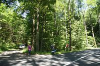
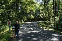
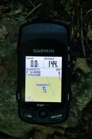
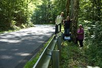
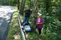
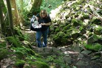
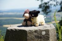
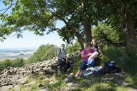
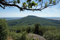
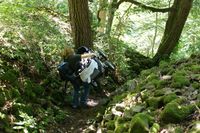
Sunny weather, a reasonably close geohash and the opportunity for a nice walk made us visiting a geohash together with our daughter (codename "Bergie") for the first time. We had a 30 km drive and took the first sideway just 100 m after passing the hashpoint. Reinhard was navigating and leading the way, Manu was carrying Bergie and her mother was assuring that nobody got lost. Stepping few meters down the slope beside the road, Reinhard was getting a one meter distance shot, but since the GPS signal was drifting beneath the trees, he assured the other hashers that they would have reached the hashpoint as well by staying at the roadside. Quickly, some photos were taken, so the hashers could go back to the car, which got them 2 km further and closer to the tops of the two equal mountains, which are interestingly not too equal as they are contradictorily named "Kleiner Gleichberg" and "Großer Gleichberg" (little and big equal mountain). The company decided in favour of walking up the little one, which was only 200 m ascent and about 3 km one way. Grandma insisted on taking the baby stroller instead of letting dad use the well-proven Manduca, but after some hundred meters it turned out the way up there wasn't at all suitable for strollers (rocky, rooty and steep). In the end one parent was caring for the stroller and the other one was carrying Bergie in the stroller bag. Anyhow they made it to the beautiful top and even back to the car! Nice family expedition.
Achievements
Bergie earned the Land geohash achievement
|
Photos
|
