Difference between revisions of "2012-08-21 50 -2"
From Geohashing
imported>DavidMiller |
imported>NWoodruff |
||
| Line 30: | Line 30: | ||
</gallery> | </gallery> | ||
| + | [[Category:Expeditions]] | ||
| + | [[Category:Expeditions with photos]] | ||
| + | [[Category:Coordinates reached]] | ||
Revision as of 22:59, 23 August 2012
| Tue 21 Aug 2012 in Weymouth: 50.7228289, -2.1107242 geohashing.info google osm bing/os kml crox |
Location
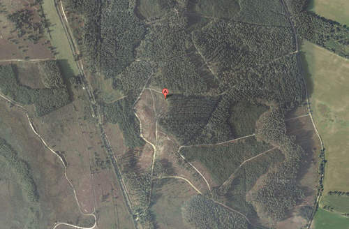
A wooded trail just outside of Sandford.
Participants
- David Miller
- Ryan Miller
- Charlie Foulds
Plans
David Miller's Plans
I arrived at the entrance to the wooded area at around 2pm. Gathered the kids and their lunches and headed off into the forest. Eventually found the hash point after around 15 minutes of walking and took some photos with the kids. There was a cool "den" just across from the hash point that someone has made from parts of trees that has been cut down. As the hash point was in in a dense part of the forest and no easy markings could be left, we grabbed a stick and etched "XKCD" into the soft mud path way to let people know we had been there.
