Difference between revisions of "2013-03-04 50 11"
imported>Reinhard m (→Photos) |
imported>FippeBot m (Location) |
||
| Line 27: | Line 27: | ||
[[Category:Expeditions with photos]] | [[Category:Expeditions with photos]] | ||
[[Category:Coordinates reached]] | [[Category:Coordinates reached]] | ||
| + | {{location|DE|TH|AP}} | ||
Latest revision as of 01:16, 14 August 2019
| Mon 4 Mar 2013 in 50,11: 50.9085313, 11.4518289 geohashing.info google osm bing/os kml crox |
Location
On a strip of snow-covered grass at the edge of Magdala, Thuringia.
Participants
- Reinhard
- Sterni
Expedition
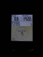
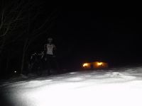
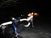
Hard to believe this is my first geohash this year and even harder to believe it's my first bike trip with more than 3 km in 2013. Bergie couldn't come with me as she was seriously tired and had to sleep in the evening after I came home from work, but she told Sterni to accompany me, so nothing could go wrong. I chose a sensible round trip of 31 km for this evening ride which I started around 20:50 from Jena with temperatures slightly above freezing point and thighs strong as jelly. Finding the hashpoint and getting there wasn't an issue. I could even have asked some visitors of the nearby bowling alley to join the hash, but preferred to enjoy the hashpoint with Sterni and was relieved nobody was asking what I was doing there.
Photos
|


