Difference between revisions of "2013-06-08 30 -81"
From Geohashing
imported>DrCanadianNinja |
imported>DrCanadianNinja (→Gallery) |
||
| Line 40: | Line 40: | ||
[[Category:Expeditions]] | [[Category:Expeditions]] | ||
[[Category:Coordinates reached]] | [[Category:Coordinates reached]] | ||
| + | [[Category:Expeditions with photos]] | ||
Revision as of 23:13, 7 July 2013
| Have you seen our geohashing marker? We'd love to hear from you! Click here to say "hi" and tell us what you've seen!
Curious about what geohashing is? Read more! |
| Sat 8 Jun 2013 in Jacksonville, Florida: 30.2897934, -81.3964875 geohashing.info google osm bing/os kml crox |
Expedition
The Plan
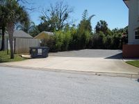
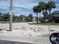
In the parking lot of Amanda Webster Design just off Beach Blvd, within half a mile of Jacksonville Beach. I'll be trying to leave around 9, 9:30, because I'd like to go to the beach right after.
It's not often I get a Saturday geohash in!
The Geohashers
The Adventure
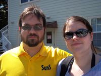
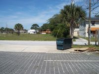
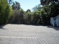
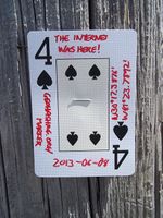
So we got away much later than we would've liked, not leaving until about 10:30. Very uneventful, found the spot with no trouble. GPS battery died as we were doing the dance, but we were at N30°17.388', W81°23.788 at the time; with the coordinates at N30°17.3876', W81°23.7892, I'm calling that a success. We left the Four of Spades on a nearby pole and took off for the beach.
Gallery
- Photo Gallery
