Difference between revisions of "2013-07-26 50 10"
From Geohashing
imported>Reinhard m (→Photos) |
imported>Reinhard m (→Photos) |
||
| Line 16: | Line 16: | ||
== Photos == | == Photos == | ||
| − | {{gallery|width=200|height=200|lines= | + | {{gallery|width=200|height=200|lines=2 |
|Image:20130726-50N10E-01.jpg|Continuing on gravel at the edge of Schnett. | |Image:20130726-50N10E-01.jpg|Continuing on gravel at the edge of Schnett. | ||
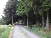
|Image:20130726-50N10E-02.jpg|Hash closed for maintenance? | |Image:20130726-50N10E-02.jpg|Hash closed for maintenance? | ||
Revision as of 11:51, 27 July 2013
| Fri 26 Jul 2013 in 50,10: 50.4892519, 10.8853541 geohashing.info google osm bing/os kml crox |
Location
In the Thuringian forest near Schnett.
Participants
Expedition
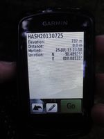
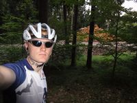
While Manu and Bergie had already started their weekend at Bergie's grandparents in the Thuringian forest, Reinhard was still at work in Jena and somehow had to get to them in the late afternoon. He could have taken the 95 km direct way, but why not take a little detour of about 20 km to get to the hashpoint near Schnett? That's what he did, following B88 till Bad Blankenburg and then turned left to ride through Schwarzatal. It felt like an eternity to get to Katzhütte from where it was not that far to Schnett. Following a gravel path down the forest for 1 km lead directly to the hashpoint. For the last km Reinhard got accompanied by Manu who appreciated a small evening trip.
Photos
|


