Difference between revisions of "2013-09-15 50 13"
From Geohashing
imported>Die Wildensteiner |
imported>Die Wildensteiner |
||
| Line 40: | Line 40: | ||
[[Category:New report]] | [[Category:New report]] | ||
| − | |||
| − | |||
| − | |||
| − | |||
| − | + | ||
| − | |||
| − | |||
[[Category:Expeditions with photos]] | [[Category:Expeditions with photos]] | ||
| − | + | ||
| − | |||
| − | |||
| − | |||
| − | |||
[[Category:Coordinates reached]] | [[Category:Coordinates reached]] | ||
| − | |||
| − | |||
| − | |||
| − | |||
| − | |||
| − | |||
| − | |||
| − | |||
| − | |||
| − | |||
| − | |||
| − | |||
| − | |||
| − | |||
| − | |||
| − | |||
| − | |||
| − | |||
Revision as of 12:45, 18 September 2013
| Sun 15 Sep 2013 in 50,13: 50.6707949, 13.1776052 geohashing.info google osm bing/os kml crox |
Location
A field between the town Marienberg and the village Lauterbach.
Participants
Expedition
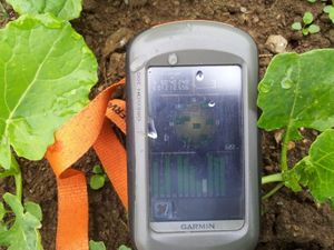
On this cloudy day we had an adventurous journey to the finish. There was an error in the written coordinate. So we had to drive two kilometres twice.


