Difference between revisions of "2013-11-28 51 9"
From Geohashing
imported>GeorgDerReisende |
imported>GeorgDerReisende (expedition report) |
||
| Line 20: | Line 20: | ||
== Expedition == | == Expedition == | ||
| − | |||
| − | |||
{| | {| | ||
| Line 27: | Line 25: | ||
! | !! style="width:30em" | | ! | !! style="width:30em" | | ||
|- | |- | ||
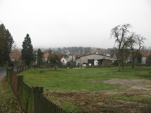
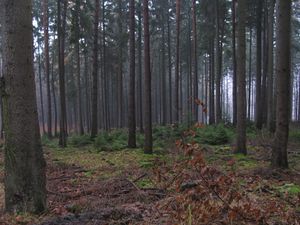
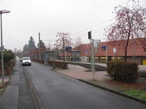
| − | | [[Image:2013-11-28 51 9 GeorgDerReisende 3794.jpg|300px]] || || | + | | [[Image:2013-11-28 51 9 GeorgDerReisende 3794.jpg|300px]] || || I started the today's geohashing expedition at Oberkaufungen. I went there to by the tram no. 4 and from there I walked onto the mountains. |
| − | |||
| − | |||
| − | |||
| − | |||
| − | |||
| − | |||
| − | |||
| − | |||
| − | |||
| − | |||
| − | |||
| − | |||
| − | |||
| − | |||
| − | |||
| − | |||
| − | |||
| − | |||
|- | |- | ||
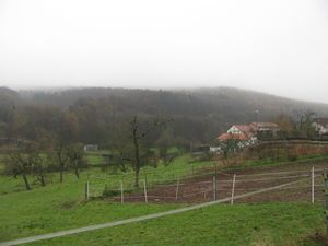
| − | | [[Image:2013-11-28 51 9 GeorgDerReisende | + | | [[Image:2013-11-28 51 9 GeorgDerReisende 3798.jpg|300px]] || || At first I walked a little bit along the valley of the river Losse. |
|- | |- | ||
| − | | [[Image:2013-11-28 51 9 GeorgDerReisende | + | | [[Image:2013-11-28 51 9 GeorgDerReisende 3805.jpg|300px]] || [[Image:2013-11-28 51 9 GeorgDerReisende 3810.jpg|300px]] || Then I arrived in the forest with it's usual steep terrain, but I hoped for better angles near the hash. |
|- | |- | ||
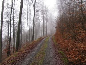
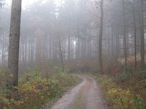
| − | | [[Image:2013-11-28 51 9 GeorgDerReisende | + | | [[Image:2013-11-28 51 9 GeorgDerReisende 3814.jpg|300px]] || [[Image:2013-11-28 51 9 GeorgDerReisende 3820.jpg|300px]] || The higher up the mountain I walked the less steeper it became. |
|- | |- | ||
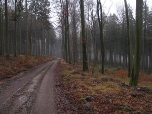
| − | | [[Image:2013-11-28 51 9 GeorgDerReisende | + | | [[Image:2013-11-28 51 9 GeorgDerReisende 3817.jpg|300px]] || || I could have taken this way for a cut of the route, but because of the wetness I wanted to walk on the hard way as long as possible. |
|- | |- | ||
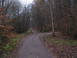
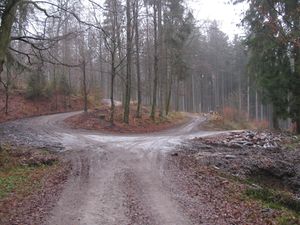
| − | | [[Image:2013-11-28 51 9 GeorgDerReisende | + | | [[Image:2013-11-28 51 9 GeorgDerReisende 3824.jpg|300px]] || || This was the highest place of the walk with a rest of snow on the ways. I came from the right one and followed that to the middle. |
|- | |- | ||
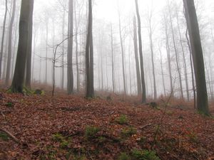
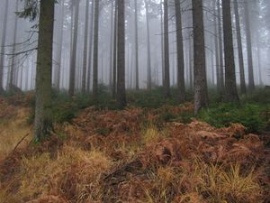
| − | | [[Image:2013-11-28 51 9 GeorgDerReisende | + | | [[Image:2013-11-28 51 9 GeorgDerReisende 3826.jpg|300px]] || || This is an other example of wetness. These trees are only waiting for geohashers to make them wet. In the highest resolution you see the drops! |
|- | |- | ||
| − | | [[Image:2013-11-28 51 9 GeorgDerReisende | + | | [[Image:2013-11-28 51 9 GeorgDerReisende 3828.jpg|300px]] || || The way to the hash. This way has the name Pfannkuchenweg (pan cake path). |
|- | |- | ||
| − | | [[Image:2013-11-28 51 9 GeorgDerReisende | + | | [[Image:2013-11-28 51 9 GeorgDerReisende 3829.jpg|300px]] || || This is the upper end of the cut. Only 200 meters away, but I took the detour, which was a mile long. |
|- | |- | ||
| − | | [[Image:2013-11-28 51 9 GeorgDerReisende | + | | [[Image:2013-11-28 51 9 GeorgDerReisende 3832.jpg|300px]] || || All my maps tell, that ''this '' way would lead me nearer to the hash, but at first I wanted to try the hard way again as long as possible. |
|- | |- | ||
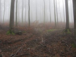
| − | | [[Image:2013-11-28 51 9 GeorgDerReisende | + | | [[Image:2013-11-28 51 9 GeorgDerReisende 3835.jpg|300px]] || || Somewhere there is the hash. |
|- | |- | ||
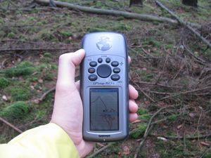
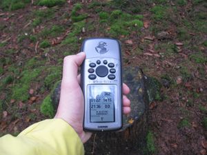
| − | | [[Image:2013-11-28 51 9 GeorgDerReisende | + | | [[Image:2013-11-28 51 9 GeorgDerReisende 3846.jpg|300px]] || [[Image:2013-11-28 51 9 GeorgDerReisende 3847.jpg|300px]] || proof |
|- | |- | ||
| − | | | + | | colspan = 3 | Look around! |
|- | |- | ||
| − | | [[Image:2013-11-28 51 9 GeorgDerReisende | + | | [[Image:2013-11-28 51 9 GeorgDerReisende 3848.jpg|300px]] || [[Image:2013-11-28 51 9 GeorgDerReisende 3849.jpg|300px]] || [[Image:2013-11-28 51 9 GeorgDerReisende 3850.jpg|300px]] |
|- | |- | ||
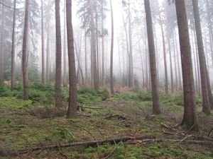
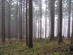
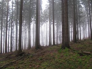
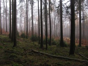
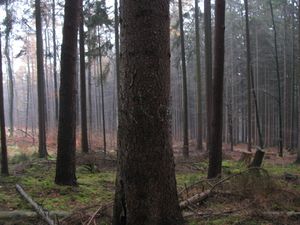
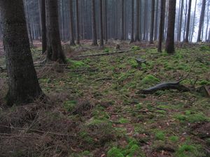
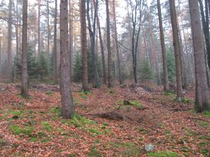
| − | | | + | | the south (uphill) with the forest way in the background || the north || the east |
|- | |- | ||
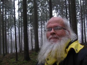
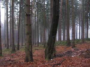
| − | | [[Image:2013-11-28 51 9 GeorgDerReisende | + | | [[Image:2013-11-28 51 9 GeorgDerReisende 3852.jpg|300px]] || [[Image:2013-11-28 51 9 GeorgDerReisende 3854.jpg|300px]] || the west and a geohasher |
|- | |- | ||
| − | | [[Image:2013-11-28 51 9 GeorgDerReisende | + | | [[Image:2013-11-28 51 9 GeorgDerReisende 3858.jpg|300px]] || [[Image:2013-11-28 51 9 GeorgDerReisende 3859.jpg|300px]] || a marker and the site of the hash |
|- | |- | ||
| − | | [[Image:2013-11-28 51 9 GeorgDerReisende | + | | [[Image:2013-11-28 51 9 GeorgDerReisende 3861.jpg|300px]] || [[Image:2013-11-28 51 9 GeorgDerReisende 3865.jpg|300px]] || Between the forest way and the hash was a stripe of mud, maybe as a leftover from the construction. I found a way to pass the mud between two trees, which had built a gate. |
|- | |- | ||
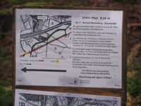
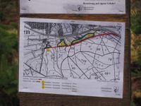
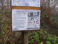
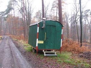
| − | | [[Image:2013-11-28 51 9 GeorgDerReisende | + | | colspan = 2 | [[Image:2013-11-28 51 9 GeorgDerReisende 3882.jpg|200px]] [[Image:2013-11-28 51 9 GeorgDerReisende 3883.jpg|200px]] [[Image:2013-11-28 51 9 GeorgDerReisende 3884.jpg|200px]] || I found these posts in the forest, informing the fellow geohashers, that velociraptors will come to eat this part of the forest. |
|- | |- | ||
| − | | [[Image:2013-11-28 51 9 GeorgDerReisende 3886.jpg|300px]] || | + | | [[Image:2013-11-28 51 9 GeorgDerReisende 3886.jpg|300px]] || [[Image:2013-11-28 51 9 GeorgDerReisende 3871.jpg|300px]] || This place shall become a motorway. Sometimes earlier I found this nest. Maybe for velociraptors? |
|- | |- | ||
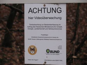
| − | | [[Image:2013-11-28 51 9 GeorgDerReisende 3889.jpg|300px]] || || | + | | [[Image:2013-11-28 51 9 GeorgDerReisende 3889.jpg|300px]] || || There is a video surveillance in the forest! |
|- | |- | ||
| − | | [[Image:2013-11-28 51 9 GeorgDerReisende 3891.jpg|300px]] || | + | | [[Image:2013-11-28 51 9 GeorgDerReisende 3891.jpg|300px]] || [[Image:2013-11-28 51 9 GeorgDerReisende 3899.jpg|300px]] || [[Image:2013-11-28 51 9 GeorgDerReisende 3907.jpg|300px]] |
|- | |- | ||
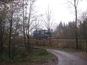
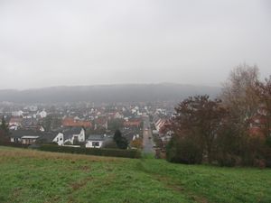
| − | | | + | | the national road || view to Niederkaufungen || back in civilisation! |
|- | |- | ||
| − | | | + | |} |
| − | } | ||
== Tracklog == | == Tracklog == | ||
| Line 101: | Line 80: | ||
<!-- Add any achievement ribbons you earned below, or remove this section --> | <!-- Add any achievement ribbons you earned below, or remove this section --> | ||
| + | {{Public transport geohash | latitude = 51 | longitude = 9 | date = 2013-11-28 | busline = tram 3 & 4 | name = GeorgDerReisende }} | ||
| − | + | [[Category:Expeditions]] | |
| − | |||
| − | [[Category: | ||
| − | + | [[Category:Expeditions with photos]] | |
| − | |||
| − | [[Category: | ||
| − | |||
| − | |||
| − | |||
| − | |||
| − | |||
| − | |||
| − | |||
| − | |||
| − | |||
| − | |||
[[Category:Coordinates reached]] | [[Category:Coordinates reached]] | ||
| − | |||
| − | |||
| − | |||
| − | |||
| − | |||
| − | |||
| − | |||
| − | |||
| − | |||
| − | |||
| − | |||
| − | |||
| − | |||
| − | |||
| − | |||
| − | |||
| − | |||
| − | |||
Revision as of 16:48, 28 November 2013
| Thu 28 Nov 2013 in 51,9: 51.2719193, 9.6516261 geohashing.info google osm bing/os kml crox |
Location
The hash lies on the Schattelberg southeast of Kaufungen.
Participants
Plans
I wanted to travel to Kaufungen by tram, and then to walk to the mountains, doing some usual things and return home.
Expedition
Tracklog
Achievements
GeorgDerReisende earned the Public transport geohash achievement
|
