Difference between revisions of "2013-12-03 51 9"

From Geohashing
imported>GeorgDerReisende
(expedition report)
imported>GeorgDerReisende
(Last man standing added)
Line 57: Line 57:
  
 
{{Public transport geohash | latitude = 51 | longitude = 9 | date = 2013-12-03 | busline = tram 3 & bus 52 | name = GeorgDerReisende }}
 
{{Public transport geohash | latitude = 51 | longitude = 9 | date = 2013-12-03 | busline = tram 3 & bus 52 | name = GeorgDerReisende }}
 +
 +
{{Last man standing | latitude = 51 | longitude = 9 | date = 2013-12-03 | name = GeorgDerReisende }}
  
 
[[Category:Expeditions]]
 
[[Category:Expeditions]]

Revision as of 22:32, 3 May 2014

Tue 3 Dec 2013 in 51,9:
51.2853997, 9.3910260
geohashing.info google osm bing/os kml crox


Location

The hash lies in the southwestern part of the forest Habichtswald at Kassel.

Participants

GeorgDerReisende

Plans

I wanted to go there by public transport and then to walk the last mile, then taking some photos and walk home across the mountain.

Expedition

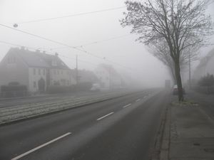
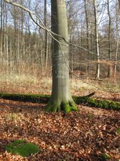
2013-12-03 51 9 GeorgDerReisende 4049.jpg I started at home at a quarter to ten and found the weather situation like this. Fog. And I wondered about the weather conditions in the Habichtswald.
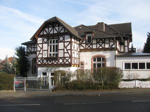
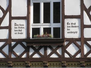
2013-12-03 51 9 GeorgDerReisende 4055.jpg 2013-12-03 51 9 GeorgDerReisende 4056.jpg At the end of the tram stands this house. The signs say: Them house the peace, them guest the pleasure. A greet them wanderer who passes by.
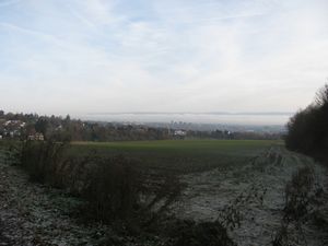
2013-12-03 51 9 GeorgDerReisende 4058.jpg This is a part of Kassel from above. The fog had been only in the valley and on the northern mountains. At the Habichtswald the air was clear but not warm.
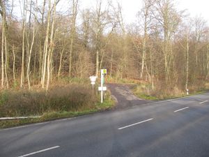
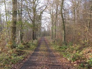
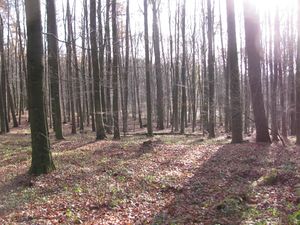
2013-12-03 51 9 GeorgDerReisende 4059.jpg 2013-12-03 51 9 GeorgDerReisende 4060.jpg This is the bus stop Birkenkopf, where I left the bus. Usually I take this bus stop to go to the motorway for hitchhiking to the west, today i was only hiking into the forest. At the beginning the forest way looked good.
2013-12-03 51 9 GeorgDerReisende 4070.jpg Later the way became muddy and it was easier to walk beside the way then on it.
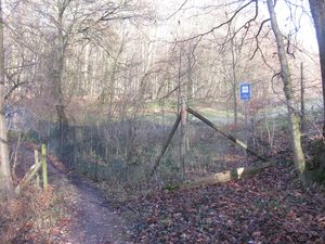
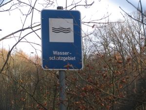
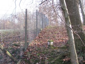
2013-12-03 51 9 GeorgDerReisende 4072.jpg 2013-12-03 51 9 GeorgDerReisende 4073.jpg The meadow at which the hash lies nearby is a water protection area and fenced.
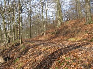
2013-12-03 51 9 GeorgDerReisende 4076.jpg I tried to walk along the fence and to climb the mountain. For that I grabbed with my hands into the fence.
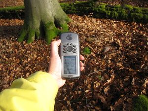
2013-12-03 51 9 GeorgDerReisende 4086.jpg Then I reached the hash. After some dancing I found the right place.
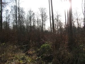
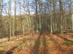
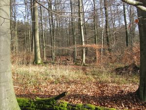
2013-12-03 51 9 GeorgDerReisende 4087.jpg 2013-12-03 51 9 GeorgDerReisende 4088.jpg the south and the north
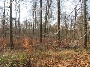
2013-12-03 51 9 GeorgDerReisende 4089.jpg 2013-12-03 51 9 GeorgDerReisende 4090.jpg the east and the west
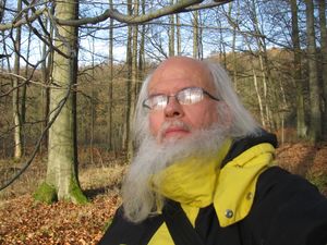
2013-12-03 51 9 GeorgDerReisende 4091.jpg 2013-12-03 51 9 GeorgDerReisende 4093.jpg a geohasher and the site of the hash. The hash lies one meter south of the big rock in the front.
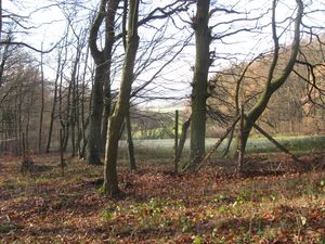
2013-12-03 51 9 GeorgDerReisende 4095.jpg 2013-12-03 51 9 GeorgDerReisende 4099.jpg a view across the meadow to the edge of the forest and a view from above to the meadow.

Tracklog

Achievements

Bus.PNG
GeorgDerReisende earned the Public transport geohash achievement
by reaching the (51, 9) geohash on 2013-12-03 via tram 3 & bus 52.
Lastmanstanding.png
GeorgDerReisende earned the Last man standing achievement
by being the the only hasher world-wide to go on a geohashing expedition on 2013-12-03.