Difference between revisions of "2014-03-02 50 11"
imported>Jens (→Photos) |
imported>Reinhard m (wrong date in meetup pattern) |
||
| Line 2: | Line 2: | ||
| lat=50 | | lat=50 | ||
| lon=11 | | lon=11 | ||
| − | | date= | + | | date=2014-03-02 |
}} | }} | ||
Revision as of 08:12, 3 March 2014
| Sun 2 Mar 2014 in 50,11: 50.8432415, 11.4196304 geohashing.info google osm bing/os kml crox |
Location
Near Kesslar.
Participants
- Jens and Räbe
Expedition
First hashpoint in 2014. Of course there have been others before Juja wanted me to go to. But until now I always had a good reason, why it was not possible. Today not. But the weather was fine, so why not awake the bike from its hibernation. It still was wearing a discreet mud cover, which is a souvenir from the last points we visited in autumn.
The route I have chosen by selecting one of the tracks from former expeditions led via Magdala. And of course I forgot that there is this street on the Mapsource map that does not exist in reality. So I once again passed the dog’s home from 2011-08-23 and finally arrived at the points area.
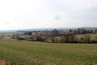
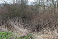
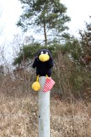
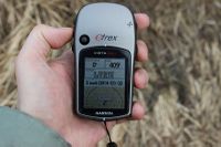
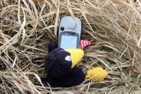
There were two options to approach the target. From north through brushwood or from south through fenced-off grazing land. Since there were no animals on the grazing land, no farmer in view and a hole in the fence, I've chosen option two. And this was a good decision, since this way was easy. So I took some photos and went home, this time on the direct way via Bucha.
Photos
|
