Difference between revisions of "2014-03-29 50 7"
From Geohashing
imported>GeorgDerReisende (new expedition to Neunkirchen-Seelscheid) |
imported>GeorgDerReisende (expedition report added) |
||
| Line 20: | Line 20: | ||
== Expedition == | == Expedition == | ||
| − | |||
| − | == | + | {| |
| − | < | + | |- |
| − | + | ! style="width:300px" | !! style="width:300px" | !! style="width:300px" | | |
| − | + | |- | |
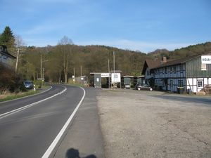
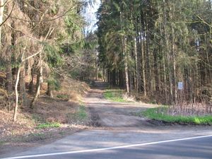
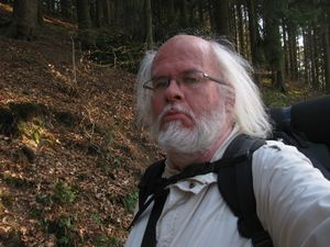
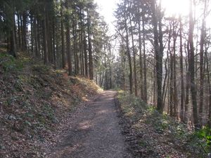
| − | + | | [[Image:2014-03-29 50 7 GeorgDerReisende 7291.jpg|300px]] || [[Image:2014-03-29 50 7 GeorgDerReisende 7297.jpg|300px]] || From Kassel-Wilhelmshöhe I got a lift to the service station Remscheid and from there a lift to Troisdorf. There I took a bus to and across Siegen. Another lift led me to Hausermühle.<br>After 400 meters I entered the forest. | |
| − | Image: | + | |- |
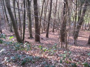
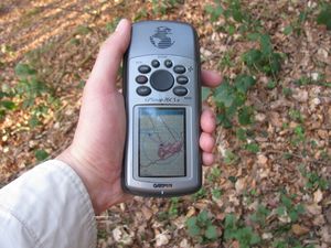
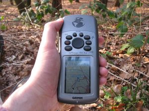
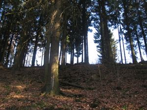
| − | -- | + | | [[Image:2014-03-29 50 7 GeorgDerReisende 7302.jpg|300px]] || [[Image:2014-03-29 50 7 GeorgDerReisende 7311.jpg|300px]] || Then I walked some meters and thought, I had found the hash, some meters away from the way on a steep slope. It seemed. I couldn't make a dance there because the edge was too steep. Then I tried to throw the Garmin, or to give it a feel of throwing, but that didn't help, the pointer didn't want to walk across the edge. |
| − | + | |- | |
| − | + | | [[Image:2014-03-29 50 7 GeorgDerReisende 7308.jpg|300px]] || || This was my feeling. | |
| + | |- | ||
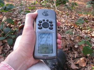
| + | | [[Image:2014-03-29 50 7 GeorgDerReisende 7315.jpg|300px]] || [[Image:2014-03-29 50 7 GeorgDerReisende 7314.jpg|300px]] || Then I tried a technique like against the Ravenous Bugblatter Beast of Traal. I told me, if I don't look to the Garmin, the Garmin would not look to the edge. And it happened. The pointer started to walk across the edge, at first only as near as eight meters, then, at a second moment, the pointer walked through the hash. | ||
| + | |- | ||
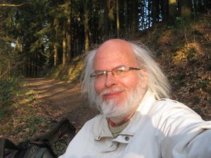
| + | | [[Image:2014-03-29 50 7 GeorgDerReisende 7316.jpg|300px]] || || Success! | ||
| + | |- | ||
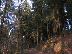
| + | | [[Image:2014-03-29 50 7 GeorgDerReisende 7306.jpg|300px]] the way where I came from || [[Image:2014-03-29 50 7 GeorgDerReisende 7320.jpg|300px]] the way where I didn't go || [[Image:2014-03-29 50 7 GeorgDerReisende 7307.jpg|300px]] the trees above the way | ||
| + | |} | ||
== Achievements == | == Achievements == | ||
| Line 36: | Line 42: | ||
<!-- Add any achievement ribbons you earned below, or remove this section --> | <!-- Add any achievement ribbons you earned below, or remove this section --> | ||
| + | {{Thumbs Up | latitude = 50 | longitude = 7 | date = 2014-03-29 | name = GeorgDerReisende }} | ||
| − | + | [[Category:Expeditions]] | |
| − | |||
| − | [[Category: | ||
| − | + | [[Category:Expeditions with photos]] | |
| − | |||
| − | |||
| − | |||
| − | |||
| − | |||
| − | |||
| − | |||
| − | |||
| − | |||
| − | |||
| − | |||
| − | |||
| − | |||
| − | |||
[[Category:Coordinates reached]] | [[Category:Coordinates reached]] | ||
| − | |||
| − | |||
| − | |||
| − | |||
| − | |||
| − | |||
| − | |||
| − | |||
| − | |||
| − | |||
| − | |||
| − | |||
| − | |||
| − | |||
| − | |||
| − | |||
| − | |||
| − | |||
Revision as of 14:08, 2 April 2014
| Sat 29 Mar 2014 in 50,7: 50.8630715, 7.3375972 geohashing.info google osm bing/os kml crox |
Location
The hash lies at the valley of the Wahnbach, near the quarter Hausermühle of the village Neunkirchen-Seelscheid.
Participants
Plans
I start to hitchhike now at 9:00 at Kassel.
Expedition
Achievements
GeorgDerReisende earned the Thumbs Up Geohash Achievement
|
