Difference between revisions of "2014-09-13 51 14"
From Geohashing
imported>Danatar (report will follow) |
imported>Danatar m (→tracklog) |
||
| Line 47: | Line 47: | ||
===tracklog=== | ===tracklog=== | ||
| − | + | [http://www.everytrail.com/view_trip.php?trip_id=2984836&code=76b65c814f841c1b6d558ac670461316 triton tracklog] | |
[[Category:Expeditions]] | [[Category:Expeditions]] | ||
Revision as of 06:54, 18 September 2014
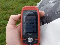
| Sat 13 Sep 2014 in Cottbus: 51.0761641, 14.1263233 geohashing.info google osm bing/os kml crox |
Location
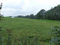
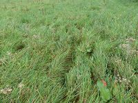
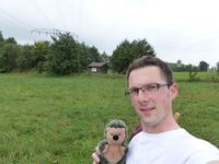
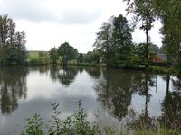
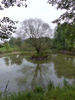
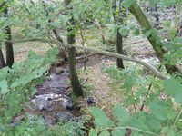
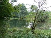
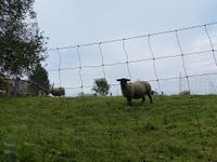
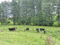
Today's location is in a meadow near the Bühlbach creek, between Bühlau (belonging to Großharthau) and Stolpen (belonging to Stolpen).
Country: Germany; state: Sachsen (Saxony, EU-DE-SN); district: Sächsische Schweiz-Osterzgebirge; municipality: Stolpen
Weather: Clouded but no rain
Expedition
Danatar
story tbd
|
