Difference between revisions of "2014-09-14 48 16"
imported>B2c m |
imported>B2c m |
||
| Line 8: | Line 8: | ||
== Location == | == Location == | ||
| − | [[Image:IMG_2014-09-14_wien_hash500tothenorth.jpg | thumb | left | The hashpoint: 500m this direction. Wet feet guaranteed.]]The hash was located about | + | [[Image:IMG_2014-09-14_wien_hash500tothenorth.jpg | thumb | left | The hashpoint: 500m this direction. Wet feet guaranteed.]]The hash was located about 70km north of Vienna in a forest near the village Hagenberg. Not to be confused with Hagenberg in Upper Austria though. |
Revision as of 14:54, 14 September 2014
| Sun 14 Sep 2014 in 48,16: 48.6255643, 16.4690962 geohashing.info google osm bing/os kml crox |
Location
The hash was located about 70km north of Vienna in a forest near the village Hagenberg. Not to be confused with Hagenberg in Upper Austria though.
Participants
Plans
As there was no certainty that the hashpoint was reachable as it was lying somewhat deep in a forest and the hashmen had mixed experiences with locations like this, they had prepared for an alternative hash in the 48,15 graticule. As this would mean another 100km drive this was more an emergency hash as a real alternative.
Expedition
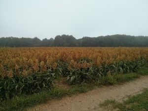
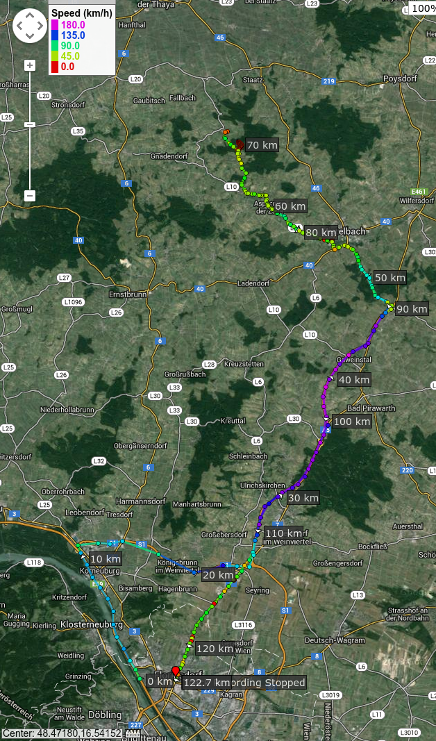
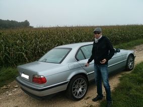
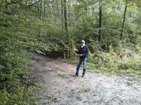
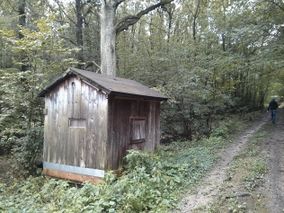
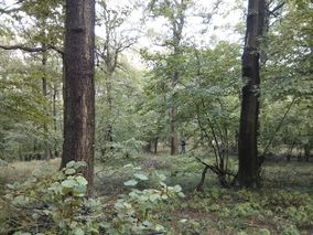
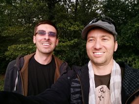
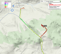
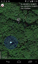
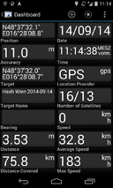
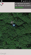
B2c picked up Patrizius on the way to the hashpoint, heading north. They had to take an alternative route as there was a cycle race in the city and the wanted to avoid any traffic jams. Taking the A5 north, they passed through Mistelbach, Aspern a. d. Zaya and finally reached Hagenberg. The drove around a bit as it was not immediately apparent from which side the hash would be easily approachable. They settled for a small dirt track 500m south of the hashpoint in some corn fields and continued on foot. GPS as well as 3G coverage was terrible and they roamed around in the forest for quiet some time before they could be sure to to be on the right spot. In contrast to some of their last expeditions this turned out to be quiet an adventure.
Tracklog
Photos
- Photo Gallery
