Difference between revisions of "2014-11-01 51 9"

From Geohashing
imported>GeorgDerReisende
(expedition report for the Reinhardswald)
imported>FippeBot
m (Location)
 
Line 65: Line 65:
  
 
[[Category:Not reached - Mother Nature]]
 
[[Category:Not reached - Mother Nature]]
 +
{{location|DE|HE|KS}}

Latest revision as of 01:52, 15 August 2019

Sat 1 Nov 2014 in 51,9:
51.4224011, 9.6065222
geohashing.info google osm bing/os kml crox


Location

The hash lies in the forest Reinhardswald between Wilhelmshausen and Hann. Münden.

Participants

GeorgDerReisende

Plans

I take the bus to Wilhelmshausen and walk to the hash.

Expedition

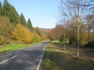
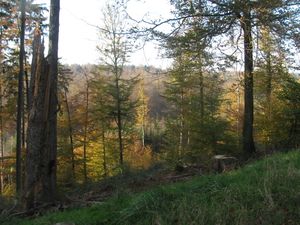
2014-11-01 51 9 GeorgDerReisende 9673.jpg I took the bus from Ihringshausen to Wilhelmshausen, then I walked to the hash. The walk started with the cycle path along the national road. After 1 1/2 kilometers I entered the mountains.
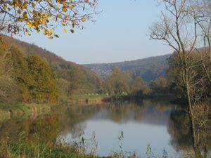
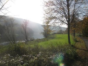
2014-11-01 51 9 GeorgDerReisende 9675.jpg 2014-11-01 51 9 GeorgDerReisende 9676.jpg 2014-11-01 51 9 GeorgDerReisende 9678.jpg
The river Fulda and some trees.
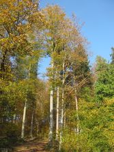
2014-11-01 51 9 GeorgDerReisende 9689.jpg Here I heard some shooting from beyond. There was a shooting range and while I heard the shooting, I decided not to walk back but to Hann. Münden after the hash.
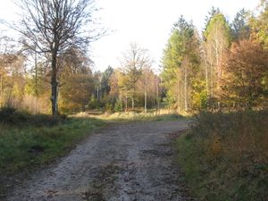
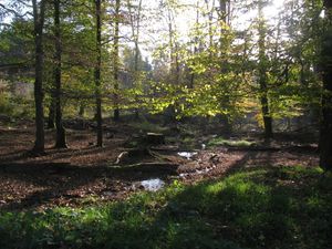
2014-11-01 51 9 GeorgDerReisende 9690.jpg 2014-11-01 51 9 GeorgDerReisende 9692.jpg This is the fork of the better forest ways near the hash. Only some meters later I found this friendly looking brook in the sunshine.
2014-11-01 51 9 GeorgDerReisende 9696.jpg 2014-11-01 51 9 GeorgDerReisende 9697.jpg 2014-11-01 51 9 GeorgDerReisende 9698.jpg
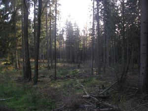
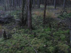
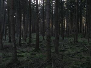
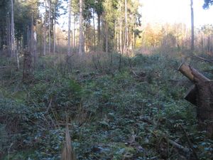
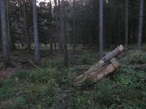
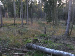
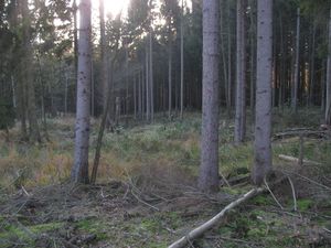
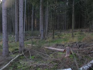
Some more meters and I found this rubble. Somewhere there is the hash. This light green looking moose is wet. It feels like deep water above the may be hard but sometimes muddy ground. I didn't like to walk on it. And several times I tried to walk under the trees, but the dark green moose is as dangerous as all the other ones.
2014-11-01 51 9 GeorgDerReisende 9702.jpg 2014-11-01 51 9 GeorgDerReisende 9704.jpg 2014-11-01 51 9 GeorgDerReisende 9706.jpg
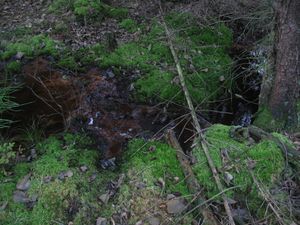
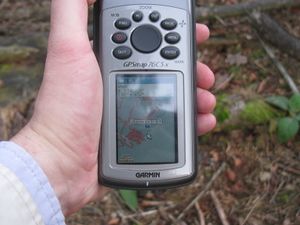
Here the GPS told me about 13 meters to go. And I went 13 meters. And the GPS told me about 13 meters to go. And I ended at this horrible brook. One step too wide. A kingdom for a boat!
2014-11-01 51 9 GeorgDerReisende 9708.jpg 2014-11-01 51 9 GeorgDerReisende 9709.jpg 2014-11-01 51 9 GeorgDerReisende 9710.jpg
At this place I gave up. And I went back to the forest way. Seeing the friendly brook, I tried it again, but from this side. Again a fail.
2014-11-01 51 9 GeorgDerReisende 9711.jpg 2014-11-01 51 9 GeorgDerReisende 9715.jpg Bad luck.
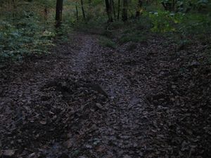
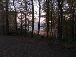
2014-11-01 51 9 GeorgDerReisende 9739.jpg 2014-11-01 51 9 GeorgDerReisende 9744.jpg Then I walked to Hann. Münden. While the first three kilometers were easy forest roads, the last part was a steep muddy way and it got darker because of the sunset. An half hour later and it would have been a total mess. At last I had a view to Hann. Münden from above. I walked through the city, started to hitchhike at 17:10 and arrived at Kassel at 17:43.

Achievements

Boatless.PNG
GeorgDerReisende earned the My kingdom for a boat consolation prize
by being prevented from reaching the (51, 9) geohash on 2014-11-01 by an impassable and unforeseen body of water.