Difference between revisions of "2016-04-12 50 11"
From Geohashing
imported>Reinhard (report) |
imported>Reinhard m |
||
| Line 12: | Line 12: | ||
== Participants == | == Participants == | ||
* [[user:Reinhard|Reinhard]] | * [[user:Reinhard|Reinhard]] | ||
| − | |||
== Expedition == | == Expedition == | ||
| Line 21: | Line 20: | ||
== Photos == | == Photos == | ||
| − | {{gallery|width=200|height=200|lines= | + | {{gallery|width=200|height=200|lines=1 |
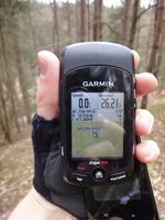
|Image:20160412-50N11E-01.jpg|Coordinates reached. | |Image:20160412-50N11E-01.jpg|Coordinates reached. | ||
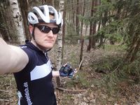
|Image:20160412-50N11E-02.jpg|At the spot. | |Image:20160412-50N11E-02.jpg|At the spot. | ||
Revision as of 20:12, 12 April 2016
| Tue 12 Apr 2016 in 50,11: 50.9364607, 11.8804136 geohashing.info google osm bing/os kml crox |
Location
In the forest very close to the road through the Eisenberger Mühltal, Thuringia, Germany.
Participants
Expedition
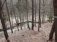
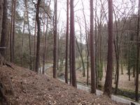
Bicycle ride in useful weather conditions. Of course, the hashpoint lay at a steep slope in the wood.
Tracklog
Photos
|


