Difference between revisions of "2016-06-08 50 11"
imported>Jens (→Photos) |
imported>Jens (→Photos) |
||
| Line 23: | Line 23: | ||
{{gallery|width=200|height=200|lines=2 | {{gallery|width=200|height=200|lines=2 | ||
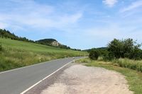
| − | |Image:160608 50 11 01.JPG| | + | |Image:160608 50 11 01.JPG|On the way from Kunitz to Bürgel |
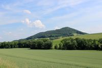
| − | |Image:160608 50 11 02.JPG| | + | |Image:160608 50 11 02.JPG|Same location, other direction |
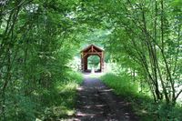
| − | |Image:160608 50 11 03.JPG| | + | |Image:160608 50 11 03.JPG|On the old railway embankment |
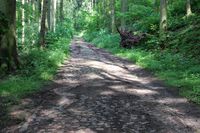
| − | |Image:160608 50 11 04.JPG| | + | |Image:160608 50 11 04.JPG|The cobblestone path |
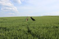
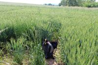
| − | |Image:160608 50 11 05.JPG| | + | |Image:160608 50 11 05.JPG|Tire marks in the wheat field .. |
| − | |Image:160608 50 11 06.JPG| | + | |Image:160608 50 11 06.JPG|.. ending here |
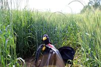
| − | |Image:160608 50 11 07.JPG| | + | |Image:160608 50 11 07.JPG|Räbe, sitting near the point. |
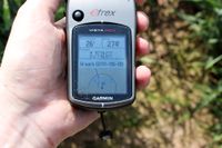
| − | |Image:160608 50 11 08.JPG| | + | |Image:160608 50 11 08.JPG|At least within the circle |
}} | }} | ||
Revision as of 19:52, 8 June 2016
| Wed 8 Jun 2016 in 50,11: 50.9369057, 11.7758035 geohashing.info google osm bing/os kml crox |
Location
Hetzdorf
Participants
- Jens and Räbe
Expedition
Today was Geo-day. First hiding a geocache, then going to the geohash. The cache had to be approved by some official, since it is located in a nature reserve area. Therefore we met in the early afternoon in Kunitz and visited the cache location. But it didn’t take as long as I expected and so it was still early afternoon when geocaching was finished.
So I had no excuse for missing the hash today. And as Juja told me, to be in Kunitz is almost the same as being in Bürgel. At least in Juja’s coordinate system. But I had time and so I didn’t worry about Juja’s optimistic distance measurement and went to the field near Bürgel, where the haspoint has loomed up today.
The last part of the way was hashpoint typical, starting with a steep rise on a cobblestone path, followed by a very small mud path with deep ruts, topped by the walk across a field of wheat. Through the wheat I followed some tractor tire marks, but they ended 26 meters before the point. I didn’t want to trample the poor wheat to death and this way ruin the farmers hard work. Still 26 meters away from the flag my GPS device showed me as hashpoint, I was already within the circle of accuracy. So I decided that this must be close enough, took some last photos and went home.
Photos
|
