Difference between revisions of "2017-04-16 30 -86"
From Geohashing
imported>Liberian2 (Report of the geohash of 2017-04-16 in 30 -86.) |
imported>Liberian2 (→Expedition) |
||
| Line 21: | Line 21: | ||
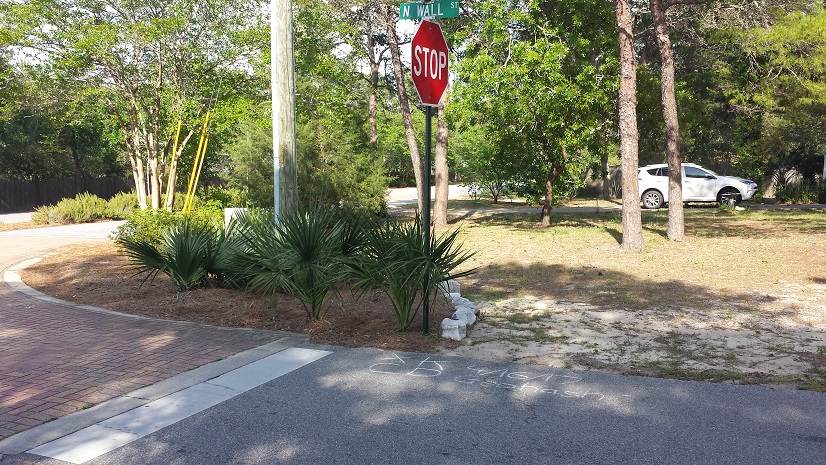
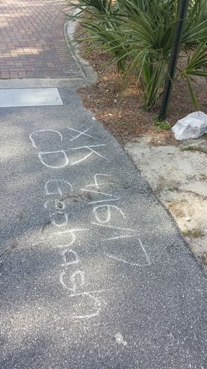
Liberian drove while Cashew gave directions. When they got to the location, Liberian got out and took his cell phone (with the geohashing application on it) and walked the remaining tens of feet to the actual location. He made the requisite pavement writing and took a couple of pictures. | Liberian drove while Cashew gave directions. When they got to the location, Liberian got out and took his cell phone (with the geohashing application on it) and walked the remaining tens of feet to the actual location. He made the requisite pavement writing and took a couple of pictures. | ||
| − | + | [[File:2017-04-16 30 -86 GeohashPicture LongerView.jpg]] [[File:2017-04-16 30 -86 GeohashPicture Detail.jpg|300 px]] | |
== Achievements == | == Achievements == | ||
Revision as of 01:20, 19 April 2017
| Sun 16 Apr 2017 in 30,-86: 30.2821751, -86.0080211 geohashing.info google osm bing/os kml crox |
Location
The east side of Wall Street in Rosemary Beach, a few blocks north of Highway 98
Participants
Plans
Liberian and Cashew were planning to have Easter dinner at a restaurant in Pier Park, near Panama City, and Liberian noticed that the Easter Sunday meet-up location was just a few blocks off the route there and was directly on the side of the road.
Expedition
Liberian drove while Cashew gave directions. When they got to the location, Liberian got out and took his cell phone (with the geohashing application on it) and walked the remaining tens of feet to the actual location. He made the requisite pavement writing and took a couple of pictures.
Achievements
- Land Geohash

