Difference between revisions of "2017-05-21 48 15"
imported>B2c (→Photos) |
imported>B2c (→Achievements) |
||
| Line 68: | Line 68: | ||
| date = 2017-05-21 | | date = 2017-05-21 | ||
| name = Micsnare | | name = Micsnare | ||
| − | | image = | + | | image = 2017-05-21-48_15-raptor.jpg |
}} | }} | ||
Revision as of 15:40, 27 May 2017
| Thu 25 May 2017 in 48,16: 48.3652464, 16.5599124 geohashing.info google osm bing/os kml crox |
Location
Participants
Plans
The plan was to seize a beautiful Sunday afternoon to celebrate *THE* algorithm by hashing yet another geohash.
Expedition
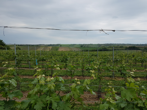
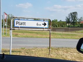
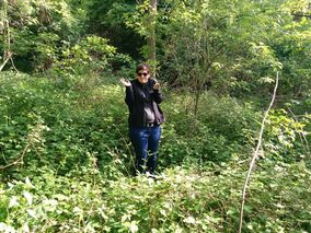
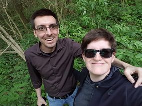
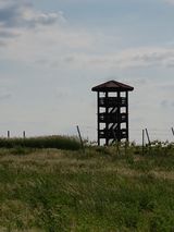
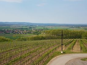
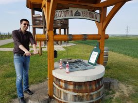
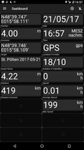
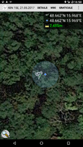
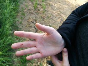
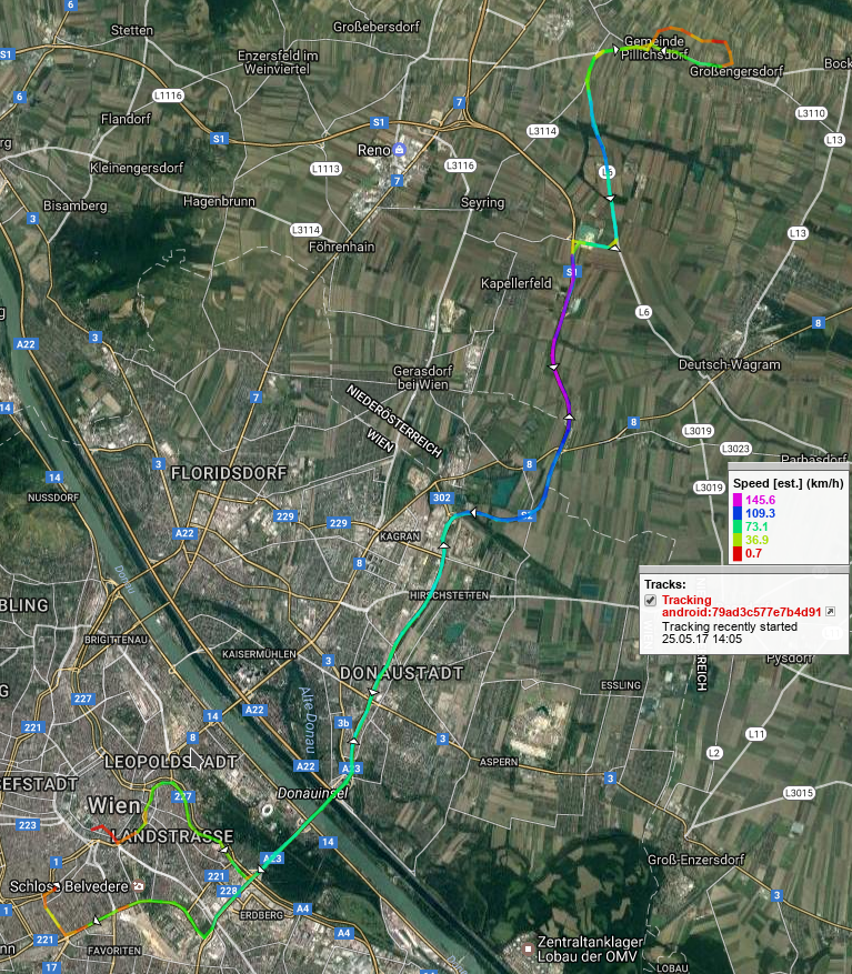
It was sometime during the weekend when the fellow hashers discussed the possibilities to go geohashing again (it was a while since they last hashed together after all). Unfortunately Crankl had family obligations and thus had to pull out. So it was up to B2c and Micsnare to go hashing together. On Sunday afternoon when B2c pinged Micsnare to meet him at Landstraße/Wien Mitte (a subway station in the heart of Vienna). From there onwards to set out to the Schweizer Garten (Swiss Garden) to grab a Drive-Now car. They took the tram line 'O' (4-5 stops) to arrive at the Schweizer Garten and picked up their car. After they had adjusted the car and punched the coordinates into their sat nav they were on their way outside the city. It was a beautiful sunny afternoon, perfect hash-weather. The ride to the hashsite was fairly unspectacular and not really worth mentioning, but yeah the traffic was light all through the city and the A22 / A3 motorway. The hashpoint was located in a little village called "Platt". Honestly, I've never been there before but it was really nice scenery in a vineyard village. Once they arrived, the two hashers got out of the car, snapped a few pictures of the beautiful landscape and tried to find the closest point to the hashpoint. This proofed to be a little difficult since the GPS reception wasn't that great to begin with. Aw jeez, the hashpoint was literally down in a pit that seemed to be full of bugs and mosquitos and full of trees, there was a no easy way to reach the hashpoint. B2c and Micsnare circled the area and finally found a way in. In there the GPS signal was even worse, so they quickly just snapped a few more pictures, posed for the obligatory stupidgrin and took some screenshots of their location. The way back to the car was burdensome, and unfortunately Micsnare fell when trying to crawl out of the pit. A splinter of wood was stuck in her right hand when trying to pull it out and by the end of the evening was also a bit swollen. Once the two were back at the car, they decided the wanted to go to the top of the hill, because they saw an observation deck. Not only was there an observation deck but also one of the winegrower also put some refreshments (grape juice, etc...) in a well, so that visitors could leave some money and in exchange could drink one of those fine cool beverages. Exactly what the two hashers now needed, and finally toasted to the Geohash algorithm (this one's for you Randall -- cheers!) Again, we can only repeat that the scenery was really beautiful and the hashers probably rested there for half an hour.
Afterwards they got back into the car and made their way back home.
Photos
- Photo Gallery
Achievements
B2c earned the 2017 Geohashing Day achievement
|
Micsnare earned the 2017 Geohashing Day achievement
|
Micsnare earned the Velociraptor Geohash Achievement
|
