Difference between revisions of "2018-11-10 50 10"
From Geohashing
imported>Fippe (categorisation) |
imported>FippeBot m (Location) |
||
| Line 33: | Line 33: | ||
[[Category:Expeditions with photos]] | [[Category:Expeditions with photos]] | ||
[[Category:Coordinates reached]] | [[Category:Coordinates reached]] | ||
| + | {{location|DE|TH|IK}} | ||
Latest revision as of 14:42, 8 August 2019
| Sat 10 Nov 2018 in 50,10: 50.6937706, 10.7751711 geohashing.info google osm bing/os kml crox |
Location
In the Thuringian forest near Gehlberg, Germany.
Participants
Expedition
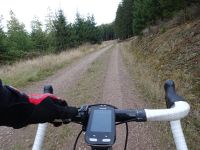
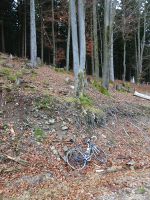
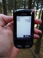
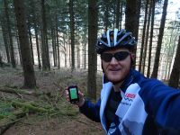
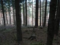
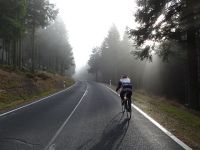
Having acceptable weather, an urge to move and someone to watch the children, Manu and Reinhard went on a three-hour bicycle ride passing the hashpoint in the forest near Gehlberg. Last 1.5 km to the hashpoint were on a steep gravel road, giving Manu a good chance to relax for a while and save her power for the second half of the ride while letting Reinhard visit this hashpoint alone. The gravel was not enjoyable, but still good enough for Reinhard not having to push his bike. For the last 60 m he had to leave the track and walk or rather climb into the wood.
Tracklog
Photos
|

