Difference between revisions of "2018-12-25 50 10"
From Geohashing
imported>Reinhard (→Expedition) |
imported>Reinhard m (→Photos) |
||
| Line 28: | Line 28: | ||
|Image:20181225-50N10E-05.jpg|Christmas meal. | |Image:20181225-50N10E-05.jpg|Christmas meal. | ||
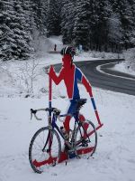
|Image:20181225-50N10E-06.jpg|Norwegian ski cyclist in Oberhof. | |Image:20181225-50N10E-06.jpg|Norwegian ski cyclist in Oberhof. | ||
| − | |Image:20181225-50N10E-07.jpg|Highest road of | + | |Image:20181225-50N10E-07.jpg|Highest road of Thuringia. |
}} | }} | ||
Revision as of 23:17, 27 December 2018
| Tue 25 Dec 2018 in 50,10: 50.8434972, 10.9963788 geohashing.info google osm bing/os kml crox |
Location
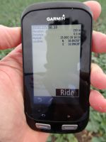
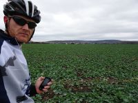
On a field near Dornheim (Ilmkreis), Thuringia, Germany.
Participants
Expedition
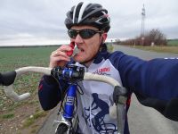
Reinhard and his family were spending the christmas holidays at the (grand)parents in Erfurt and the Thuringian forest. While Manu planned to have the goose for lunch on 25th, Reinhard hates poultry and preferred to start cycling before lunch in Erfurt and arrive after lunch at his parents-in-law. The day's geohash needed just a small detour from the shortest route, so the (frozen bicycle) christmas geohash was a done deal.
Tracklog
Photos
|
