Difference between revisions of "2019-05-18 50 10"
imported>Reinhard (report II) |
imported>Reinhard (→Tracklog) |
||
| Line 22: | Line 22: | ||
== Tracklog == | == Tracklog == | ||
| − | [https://www.strava.com/activities/ | + | [https://www.strava.com/activities/2378098296 Strava activity] |
== Photos == | == Photos == | ||
Revision as of 10:49, 19 May 2019
| Sat 18 May 2019 in 50,10: 50.9395597, 10.4087029 geohashing.info google osm bing/os kml crox |
Location
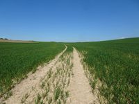
On a field near Farnroda, Thuringia, Germany.
Participants
Expedition
This is part II of a double bike geohash which started in Jena in the morning.
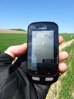
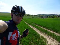
After having reached the first hashpoint near Mellingen, Reinhard followed his track to the West southernly passing the cities of Weimar, Erfurt and Gotha in safe distance. He refueled his batteries with a good cheeseburger at a petrol station in Waltershausen at kilometer 92 and went on to the second hashpoint of the day which he reached at kilometer 107 after walking 70 m into the field.
Going on sothwards to Ruhla he then crossed the mountains of the Thuringian forest on some roads he surprisingly had never taken before. Some unexpected rain required several stoppings as Reinhard wasn't at all prepared for rain and only had short clothes without rain protection. When he approached the end of his trip near Schleusingerneundorf, Reinhard decided to add another short detour to make the trip over 200 km making it 205 km in the end and finishing his second double bike hash.
Tracklog
Photos
|


