Difference between revisions of "2019-05-17 60 27"
imported>Pastori (Created page with "{{meetup graticule | lat=60 | lon=27 | date=2019-05-17 }} __NOTOC__ == Location == Kouvola, Kaipiainen, the point lies in a little hollow between two streams. == Participan...") |
imported>Pastori (→Achievements) |
||
| Line 47: | Line 47: | ||
}} | }} | ||
| − | + | {{Minesweeper geohash | graticule = Hamina, Finland | ranknumber = 4 | ne = true | e = true | n = true | nw = true | name = [[User:Pastori|Pastori]]}} | |
| + | {{consecutive geohash 2 | ||
| + | | count = 2 | ||
| + | | latitude = 60 | ||
| + | | longitude = 27 | ||
| + | | date = 2019-05-17 | ||
| + | | name = [[User:Pastori|Pastori]] and The Wife | ||
| + | }} | ||
{{land geohash | latitude = 60 | longitude = 27 | date = 2019-05-17 | name = [[User:Pastori|Pastori]] | image = 2019-05-17 60 27DSC 0058 1500px.jpg | {{land geohash | latitude = 60 | longitude = 27 | date = 2019-05-17 | name = [[User:Pastori|Pastori]] | image = 2019-05-17 60 27DSC 0058 1500px.jpg | ||
Revision as of 16:28, 19 May 2019
| Fri 17 May 2019 in 60,27: 60.8626531, 27.1252860 geohashing.info google osm bing/os kml crox |
Location
Kouvola, Kaipiainen, the point lies in a little hollow between two streams.
Participants
- Pastori
- The Wife
Expedition
He did it. Pastori and Wife were overjoyed to find that those exact graticules and points that they set out to conquer on this trip were not only on land but in the forest. In the spring farmlands have already been cultivated and sown so you can't and shouldn't go walking on them.
So off they went joyfully towards two new graticules in southern Finland. Sea covers about half of the area of both of these side-by-side graticules so they were highly motivated.
They drove 95 km on a bigger highway before continuing on smaller roads. The morning was splendid with the temperature at nearly +25 centigrade among the greenness of the spring. The road is in a good condition. There are some houses here and there and a road takes them over a stream. The fields are dry and sowed and spirits are high.
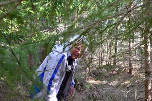
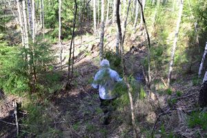
When they are about 100 m away from the point, they are faced with a choice. There's a little stream but it's big enough that they would have to wet their feet to get across. Should they try to go straight on from the nearest point to reach the point or turn back a little ways which would take them across the river automatically? In the end the choice is not a difficult one. Pastori turns the car around and they make they way over to a near by forest road and get about 207 m away from the point. As they open the door, they hear a cuckoo foretell many more geohashing days to come for Pastori and Wife. Among the birches they hear finches set their territories straight. A well maintained pine forest is easy to traverse until they reach a thicket of planted firs. But they must go through it because the point is waiting for them. Thankfully it's only another 30 m until they emerge into a little hollow and there they reach the point, at an accuracy of 0.827 m. Wife photographs the victory.
This summer started out well! The time is only 9:27 am and after their 700 m outing in the forest, Pastori and Wife head towards their next point.
Additional photos
Achievements
Pastori achieved level 4 of the Minesweeper Geohash achievement
|
Pastori and The Wife earned the Consecutive geohash achievement
|
Pastori earned the Land geohash achievement
|


