Difference between revisions of "2020-12-01 58 5"
From Geohashing
(→Expedition) |
(→Photos) |
||
| Line 32: | Line 32: | ||
<!-- if your GPS device keeps a log, you may post a link here --> | <!-- if your GPS device keeps a log, you may post a link here --> | ||
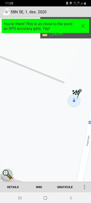
| + | [[File:Screenshot 20201201-110852 Geohash Droid.jpg|thumb]] | ||
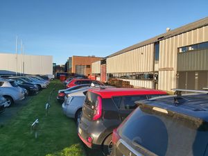
| + | [[File:20201201 111158.jpg|thumb|View to the vest]] | ||
| + | [[ | ||
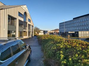
| + | [[File:20201201 111151.jpg|thumb|View to the north]] | ||
| + | ]] | ||
== Photos == | == Photos == | ||
<!-- Insert pictures between the gallery tags using the following format: | <!-- Insert pictures between the gallery tags using the following format: | ||
Revision as of 11:46, 2 December 2020
| Tue 1 Dec 2020 in 58,5: 58.8915164, 5.7022049 geohashing.info google osm bing/os kml crox |
Location
In an industrial area in Forus, Sandnes, Norway.
Participants
Pica42
Plans
Expedition
This was my first Geohash and I'm having a hard time figuring out how to do this. It would be nice if someone who sees this can help me in the beginning.
Tracklog
[[
]]
Photos
2020-12-01 58-5 @58.7830,5.6110
I've found my first Geohashing point. @58.7830,5.6110
Forus Industriområde @58.7830,5.6110
Achievements


