Difference between revisions of "2008-06-29 40 -82"
From Geohashing
imported>Alex (→Who came?) |
imported>Thomcat (Success/failure category added) |
||
| Line 1: | Line 1: | ||
| + | {{meetup graticule | ||
| + | | map=<map lat="40" lon="-82" date="2008-06-29" /> | ||
| + | | lat=40 | ||
| + | | lon=-82 | ||
| + | | date=2008-06-29 | ||
| + | | graticule_name=Mansfield | ||
| + | | graticule_link=Mansfield, Ohio | ||
| + | }} | ||
| + | |||
The [[Mansfield, Ohio]] geohash for Sunday, [[2008-06-29|June 29, 2008]] was in the middle of Coursen Road between I-71 and Steele Road in Richland County, near Bellville, Ohio. | The [[Mansfield, Ohio]] geohash for Sunday, [[2008-06-29|June 29, 2008]] was in the middle of Coursen Road between I-71 and Steele Road in Richland County, near Bellville, Ohio. | ||
| Line 16: | Line 25: | ||
</gallery> | </gallery> | ||
| − | + | [[Category:Expeditions]] | |
| − | [[Category: | + | [[Category:Expeditions with photos]] |
| + | [[Category:Coordinates reached]] | ||
Revision as of 19:59, 11 August 2008
| Sun 29 Jun 2008 in Mansfield: 40.6080460, -82.5754466 geohashing.info google osm bing/os kml crox |
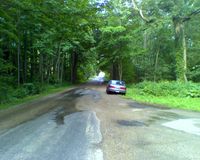
The Mansfield, Ohio geohash for Sunday, June 29, 2008 was in the middle of Coursen Road between I-71 and Steele Road in Richland County, near Bellville, Ohio.
Who came?
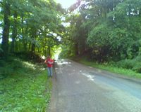
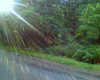
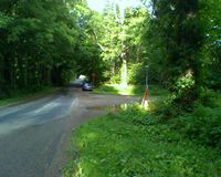
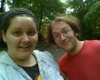
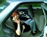
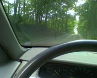
- Chris and Alex were in Cleveland over the weekend for the Cleveland Colossal Convention, and drove by the hash on their way back to Columbus since it was so close to the highway. They brought along their friend Grace, who they'd given a ride to Cleveland, and had never heard of geohashing, and thus won Chris and Alex the Drag-Along Achievement! Since the hash was also in the middle of the road, they drove through it to claim the Speed Racer Achievement!
- Pictures
