Difference between revisions of "2020-08-07 59 18"
From Geohashing
(→Expedition) |
(→Photos) |
||
| Line 26: | Line 26: | ||
== Photos == | == Photos == | ||
| − | < | + | <gallery widths=200px heights=250px> |
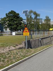
| − | Image:2020- | + | Image:2020-08-07_59_18-3.jpg | A sign announcing the roundabout |
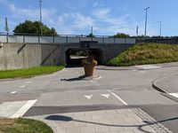
| − | -- | + | Image:2020-08-07_59_18-2.jpg | The roundabout itself |
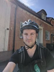
| − | + | Image:2020-08-07_59_18-1.jpg | Me at the hashpoint | |
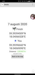
| + | Image:2020-08-07_59_18-4.jpg | Proof | ||
</gallery> | </gallery> | ||
| + | |||
| + | [[Category:Expeditions]] | ||
| + | [[Category:Expeditions with photos]] | ||
| + | |||
| + | [[Category:Coordinates reached]] | ||
| + | {{location|SE|AB}} | ||
== Achievements == | == Achievements == | ||
Revision as of 16:38, 7 July 2021
| Fri 7 Aug 2020 in 59,18: 59.3939451, 18.0406653 geohashing.info google osm bing/os kml crox |
Location
Somewhere between public buildings next to Danderyds sjukhus.
Participants
Expedition
The geohash seemed to be in a very accessible place and not too far, so it was pretty easy to get to it. In the morning I went to the university by bike, then around lunch I went to the geohash and then back to Stockholm to get something to eat. Not much more to say about it except that it was the first time I saw a roundabout only for bikes :D
Photos
Achievements


