Difference between revisions of "Mapillary achievement"
From Geohashing
m (image) |
PeterRoder (talk | contribs) m (+Proposed achievement template) |
||
| Line 1: | Line 1: | ||
| + | {{Proposal talk|date=2014-10-02}} | ||
[[File:2021-04-06 -36 146c.jpg|thumb|center]] | [[File:2021-04-06 -36 146c.jpg|thumb|center]] | ||
| Line 18: | Line 19: | ||
{{ProposedAchievementsNav}} | {{ProposedAchievementsNav}} | ||
| − | |||
[[category:Mapillary]] | [[category:Mapillary]] | ||
Revision as of 22:16, 14 January 2022
This is a proposal made on 2014-10-02. Please leave comments and suggestions on Talk:Mapillary achievement, indicating your thoughts on the proposal, including:
- Support - you think this proposal should be added with zero or minor changes
- Do not oppose - you think it's boring/meh/not for you, but it wouldn't harm to have it created
- Oppose - you have a specific reason as to why this ribbon should not exist (state this reasoning in your comment)
- Needs work - you think the achievement should be created after more significant changes have been made
See Proposed achievements for more information on this process.
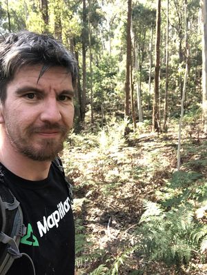
This achievement may be claimed when you contribute a picture or panorama of the hash point to Mapillary. As with OpenStreetMap, Mapillary aims to create "street view" photography of the world using crowdsourced pictures. Bonus points for contributing the entire way you took to the hash point.
Proof
Describe the feature/s you added and give a link to the Mapillary track.
Background
Like Geotrashing, adding to Mapillary is a public spirited thing to do but perhaps more lasting.
Perhaps we can encourage Mapillary editors to take up geohashing. The two activities fit well together. Visit a random place and if it's interesting, put it on the map.
Ribbon
This user earned the Mapillary achievement
|
