Difference between revisions of "2023-07-12 50 11"
From Geohashing
(→Photos) |
(→Location) |
||
| Line 8: | Line 8: | ||
__NOTOC__ | __NOTOC__ | ||
== Location == | == Location == | ||
| − | In a forest | + | In a forest near Reichenbach and Langenschade or Saalfeld, Thuringia, Germany. |
== Participants == | == Participants == | ||
Revision as of 22:12, 12 July 2023
| Wed 12 Jul 2023 in 50,11: 50.6869470, 11.4586996 geohashing.info google osm bing/os kml crox |
Location
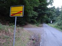
In a forest near Reichenbach and Langenschade or Saalfeld, Thuringia, Germany.
Participants
Expedition
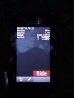
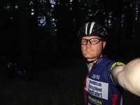
Yes, I'm back. After about 4 years, here comes my expedition 271. Well, honestly I had a couple of expeditions in between that helped me inspiring a route for a bicycle trip, but in all cases I gave up on the last 100 meters due to grainfields or thickets. This time, I also walked the last meters through dense forest to finally celebrate a 'coordinates reached' again.
The bicylce trip itself was more or less uneventful, I knew all the roads. Started the roundtrip of 96 km at 7:24 pm, reached the hash around sunset and got back home 11:15 pm.
Tracklog
Photos
|


